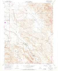
1955 Map of Tres Pinos
USGS Topo · Published 1972About this map
Tres Pinos serves as the focal point of this mid-century survey, situated where the Tres Pinos Creek meets the broader alluvial plains. The landscape is defined by the convergence of several major land grants and ranching boundaries, including Santa Ana, Quien Sabe, and the Cienega de los Paicines. This period shows a rural educational network still intact, with the Santa Ana School, Enterprise Sch, Southside Sch, and Santa Anita School distributed across the valleys to serve the surrounding ranching community.
Find a feature on this map
31 named features on this map. Tap any name to fly to it.
Don’t see what you’re looking for? This feature index may not catch every label — zoom into the map to look around manually.
Map Details
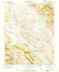
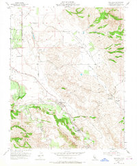
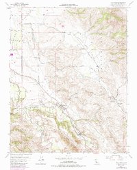
Editions of this 1955 Tres Pinos Map
4 editions found
Other maps of this area

1919 · San Benito
USGS Topo · 1:62,500

1919 · Hollister
USGS Topo · 1:48,000

1921 · Gonzales
USGS Topo · 1:62,500

1921 · Hollister
USGS Topo · 1:62,500

1922 · Quien Sabe
USGS Topo · 1:62,500

1923 · Hollister
USGS Topo · 1:62,500

1931 · San Benito
USGS Topo · 1:62,500

1940 · Hollister
USGS Topo · 1:62,500

1940 · Quien Sabe
USGS Topo · 1:62,500

1940 · San Benito
USGS Topo · 1:62,500