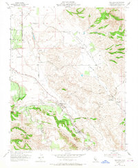
1955 Map of Tres Pinos
USGS Topo · Published 1968About this map
Tres Pinos serves as a central hub in this mid-century portrait of San Benito County, where the valley floor transitions into the elevated terrain of Swanson Bluff and Cienega Del Gabilan. The landscape is defined by its watercourses, including the San Benito River and the winding Tres Pinos Creek, which supported the region's agricultural and ranching development. Cultural landmarks like Bolado Park and the Indart Ranch highlight the local social and economic activity of the era.
Find a feature on this map
25 named features on this map. Tap any name to fly to it.
Don’t see what you’re looking for? This feature index may not catch every label — zoom into the map to look around manually.
Map Details
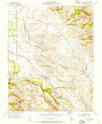
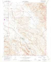
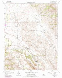
Editions of this 1955 Tres Pinos Map
4 editions found
Other maps of this area

1919 · San Benito
USGS Topo · 1:62,500

1919 · Hollister
USGS Topo · 1:48,000

1921 · Gonzales
USGS Topo · 1:62,500

1921 · Hollister
USGS Topo · 1:62,500

1922 · Quien Sabe
USGS Topo · 1:62,500

1923 · Hollister
USGS Topo · 1:62,500

1931 · San Benito
USGS Topo · 1:62,500

1940 · Hollister
USGS Topo · 1:62,500

1940 · Quien Sabe
USGS Topo · 1:62,500

1940 · San Benito
USGS Topo · 1:62,500