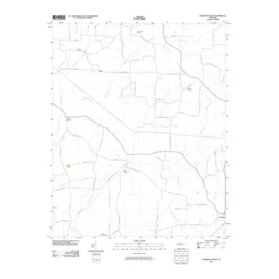
2010 Map of Trezevant West
USGS Topo · Published 2010About this map
The South Fork Obion River meanders across this rural landscape, joined by a dense network of tributaries including Thompson Creek, Plum Creek, and Bear Creek. This 2010 survey of Carroll County reveals a countryside marked by family-named routes such as Mc Adams Rd and George Butler Rd, alongside numerous burial grounds that anchor the local history. These include New Prospect Cemetery, Pittman Cemetery, and Pilgrims Rest Cemetery. Near the town of Trezevant, the drainage patterns of Short Branch and DeMoss Branch illustrate the low-lying nature of the terrain. The presence of the Austin Hank Lake Dam along Thompson Branch indicates modern water management in a region defined by its small-scale agriculture and established church-cemetery complexes like Belews Chapel Cemetery.
Find a feature on this map
57 named features on this map. Tap any name to fly to it.
Don’t see what you’re looking for? This feature index may not catch every label — zoom into the map to look around manually.
Map Details
Editions of this 2010 Trezevant West Map
This is the sole edition of this map. No revisions or reprints were ever made.
Other maps of this area

1952 · Milan
USGS Topo · 1:24,000

1954 · Greenfield
USGS Topo · 1:24,000

1954 · Bradford
USGS Topo · 1:24,000

1956 · Dyersburg
USGS Topo · 1:250,000

1956 · Blytheville
USGS Topo · 1:250,000

1959 · Blytheville
USGS Topo · 1:250,000

1966 · Mc Lemoresville
USGS Topo · 1:24,000

1966 · Atwood
USGS Topo · 1:24,000

1966 · Trezevant West
USGS Topo · 1:24,000

1967 · Pillowville
USGS Topo · 1:24,000