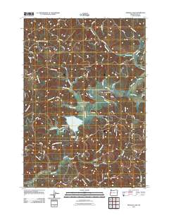
2011 Map of Triangle Lake
USGS Topo · Published 2011About this map
Triangle Lake and the small settlement of Blachly anchor this landscape in the Coast Range of Lane County. The geography is defined by a dense network of forest roads and creek drainages that feed into the prominent water bodies of the basin. The Blachly Post Office and Blachly Cemetery serve as the focal points for local genealogy and history, marking the heart of this rural community.
Find a feature on this map
85 named features on this map. Tap any name to fly to it.
Don’t see what you’re looking for? This feature index may not catch every label — zoom into the map to look around manually.
Map Details
Editions of this 2011 Triangle Lake Map
This is the sole edition of this map. No revisions or reprints were ever made.
Other maps of this area
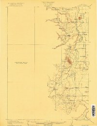
1909 · Elmira
USGS Topo · 1:62,500
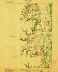
1922 · Monroe
USGS Topo · 1:62,500
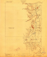
1922 · Elmira
USGS Topo · 1:62,500
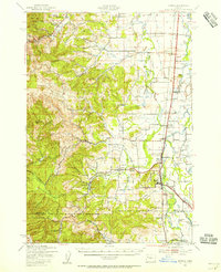
1939 · Monroe
USGS Topo · 1:62,500
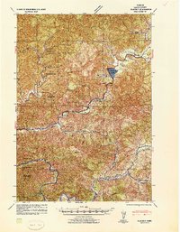
1941 · Blachly
USGS Topo · 1:62,500
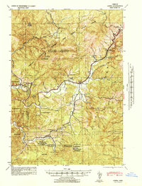
1942 · Alsea
USGS Topo · 1:62,500
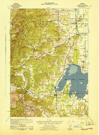
1942 · Elmira
USGS Topo · 1:62,500
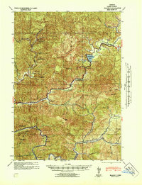
1942 · Blachly
USGS Topo · 1:62,500
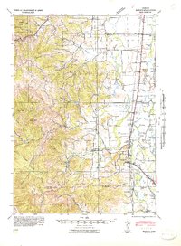
1942 · Monroe
USGS Topo · 1:62,500

1953 · Salem
USGS Topo · 1:250,000