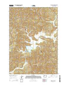
2014 Map of Triangle Lake
USGS Topo · Published 2014About this map
Triangle Lake and its smaller companion, Little Lake, sit at the heart of this coastal range landscape, providing a focal point for the surrounding timberlands and small settlements. The community of Blachly is a key point of interest, featuring the Blachly Cem and several local connectors like Blachly-Grange Rd. The geography is defined by a dense network of watercourses, including Lake Cr, Pontius Cr, and Swamp Cr, which drain the steep terrain of Bear Ridge and Little Elk Mtn.
Find a feature on this map
66 named features on this map. Tap any name to fly to it.
Don’t see what you’re looking for? This feature index may not catch every label — zoom into the map to look around manually.
Map Details
Editions of this 2014 Triangle Lake Map
This is the sole edition of this map. No revisions or reprints were ever made.
Other maps of this area

1909 · Elmira
USGS Topo · 1:62,500

1922 · Monroe
USGS Topo · 1:62,500

1922 · Elmira
USGS Topo · 1:62,500

1939 · Monroe
USGS Topo · 1:62,500

1941 · Blachly
USGS Topo · 1:62,500

1942 · Alsea
USGS Topo · 1:62,500

1942 · Elmira
USGS Topo · 1:62,500

1942 · Blachly
USGS Topo · 1:62,500

1942 · Monroe
USGS Topo · 1:62,500

1953 · Salem
USGS Topo · 1:250,000