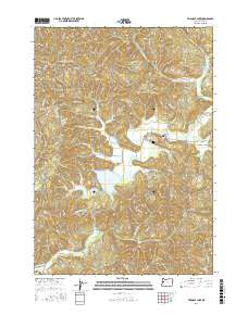
2017 Map of Triangle Lake
USGS Topo · Published 2017About this map
Triangle Lake and the nearby community of Blachly anchor this 2017 study of the Coast Range foothills in Lane County. The geography is defined by a dense network of creek drainages, including Lake Cr, Swamp Cr, and Post Cr, which feed into the larger water bodies. Local genealogy and history are anchored at the Blachly Cem, while the landscape is marked by prominent elevations such as Bear Ridge, Elk Mtn, and Little Elk Mtn. The map documents a complex system of logging and forest service roads, such as Horton Rd and Sumich Rd, that traverse the steep topography. Significant water features like the John Griffith Reservoir and Little Lake are clearly delineated, illustrating the drainage patterns that flow through the various townships including t16s r7w and t15s r8w.
Find a feature on this map
86 named features on this map. Tap any name to fly to it.
Don’t see what you’re looking for? This feature index may not catch every label — zoom into the map to look around manually.
Map Details
Editions of this 2017 Triangle Lake Map
This is the sole edition of this map. No revisions or reprints were ever made.
Other maps of this area

1909 · Elmira
USGS Topo · 1:62,500

1922 · Monroe
USGS Topo · 1:62,500

1922 · Elmira
USGS Topo · 1:62,500

1939 · Monroe
USGS Topo · 1:62,500

1941 · Blachly
USGS Topo · 1:62,500

1942 · Alsea
USGS Topo · 1:62,500

1942 · Elmira
USGS Topo · 1:62,500

1942 · Blachly
USGS Topo · 1:62,500

1942 · Monroe
USGS Topo · 1:62,500

1953 · Salem
USGS Topo · 1:250,000