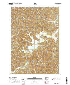
2020 Map of Triangle Lake
USGS Topo · Published 2020About this map
Triangle Lake and its smaller neighbor, Little Lake, dominate the central basin of this western Oregon survey. The settlement of Blachly serves as the primary hub for the surrounding timber and agricultural lands, located just north of the lakes along Lake Cr. This area is defined by its complex drainage network, where multiple water bodies including Swampy Cr, Druggs Cr, and Pope Cr feed into the central valley floor. Local history is anchored at the Blachly Cem, while the rugged surroundings are marked by prominent features like Bear Ridge, Elk Mtn, and Little Elk Mtn. The map reveals a dense system of logging and access roads, such as Horton Rd and Swamp Creek Rd, which provide access to the timber-rich slopes of the Siuslaw National Forest region. Genealogists and local historians can trace the intersection of early pioneer settlement sites with the natural landmarks like Little Lake Spring.
Find a feature on this map
88 named features on this map. Tap any name to fly to it.
Don’t see what you’re looking for? This feature index may not catch every label — zoom into the map to look around manually.
Map Details
Editions of this 2020 Triangle Lake Map
This is the sole edition of this map. No revisions or reprints were ever made.
Other maps of this area
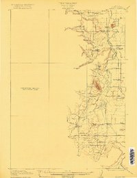
1909 · Elmira
USGS Topo · 1:62,500
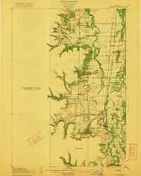
1922 · Monroe
USGS Topo · 1:62,500
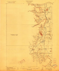
1922 · Elmira
USGS Topo · 1:62,500
1939 · Monroe
USGS Topo · 1:62,500
1941 · Blachly
USGS Topo · 1:62,500
1942 · Alsea
USGS Topo · 1:62,500
1942 · Elmira
USGS Topo · 1:62,500
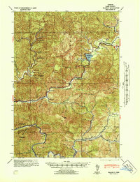
1942 · Blachly
USGS Topo · 1:62,500
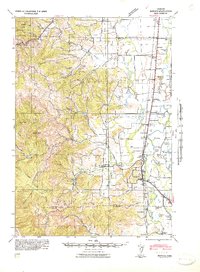
1942 · Monroe
USGS Topo · 1:62,500

1953 · Salem
USGS Topo · 1:250,000