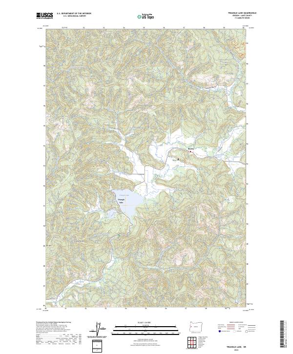
2024 Map of Triangle Lake
USGS Topo · Published 2024About this map
Triangle Lake and its smaller neighbor Little Lake anchor this portion of the Coast Range, where the settlement of Blachly sits at the junction of local timber roads and creeks. The landscape is defined by the sharp relief of Bear Ridge and peaks such as Little Elk Mtn, transitioning into the protected corridor of the Lobster Creek Wild and Scenic River to the northwest. This 2024 survey illustrates a geography shaped by drainage patterns, with Lake Creek and Post Creek carving through the terrain.
Find a feature on this map
73 named features on this map. Tap any name to fly to it.
Don’t see what you’re looking for? This feature index may not catch every label — zoom into the map to look around manually.
Map Details
Editions of this 2024 Triangle Lake Map
This is the sole edition of this map. No revisions or reprints were ever made.
Other maps of this area

1909 · Elmira
USGS Topo · 1:62,500

1922 · Monroe
USGS Topo · 1:62,500

1922 · Elmira
USGS Topo · 1:62,500

1939 · Monroe
USGS Topo · 1:62,500

1941 · Blachly
USGS Topo · 1:62,500

1942 · Alsea
USGS Topo · 1:62,500

1942 · Elmira
USGS Topo · 1:62,500

1942 · Blachly
USGS Topo · 1:62,500

1942 · Monroe
USGS Topo · 1:62,500

1953 · Salem
USGS Topo · 1:250,000