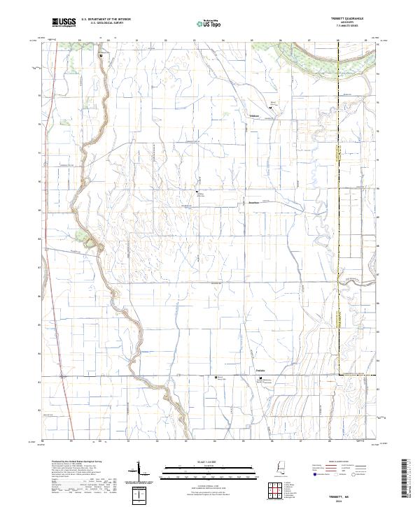
2024 Map of Tribbett
USGS Topo · Published 2024About this map
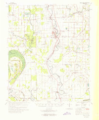
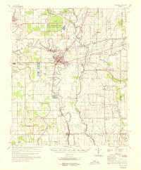
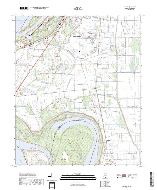
The alluvial landscape of Washington County near Tribbett is defined by a dense network of slow-moving water and agricultural drainage. Meandering waterways like Bogue Phalia and Sixmile Bayou snake through the delta terrain, while Deep Slough and Big Trail Lake mark lower points in the watershed. This area shows a pattern of small settlements and plantation-related road names, including Marta Plantation Rd, reflecting the region’s long-standing agricultural focus.
Find a feature on this map
49 named features on this map. Tap any name to fly to it.
Don’t see what you’re looking for? This feature index may not catch every label — zoom into the map to look around manually.
Map Details
Editions of this 2024 Tribbett Map
This is the sole edition of this map. No revisions or reprints were ever made.
Historical Maps of Tribbett Through Time
16 maps found

1939 Swan Lake
Washington County, MS

1939 Tralake
Washington County, MS
1967 Holly Ridge
Washington County, MS
1967 Percy
Washington County, MS
1967 Swan Lake NW
Washington County, MS

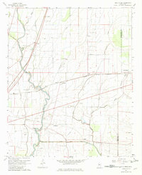
1967 Tribbett
Washington County, MS
1969 Swan Lake
Washington County, MS
1969 Tralake
Washington County, MS
1970 Avon
Washington County, MS
1970 Wayside
Washington County, MS
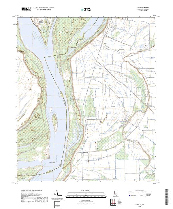
2024 Avon
Washington County, MS
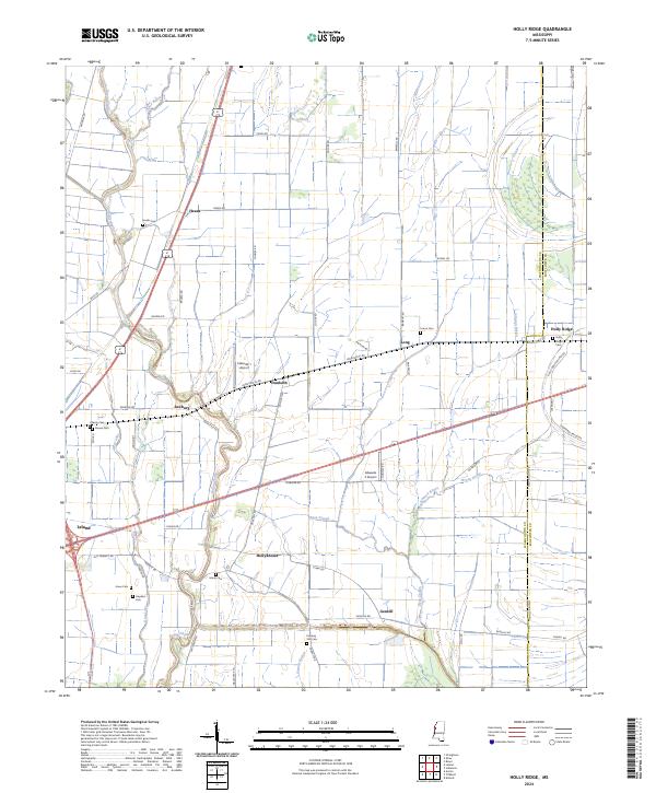
2024 Holly Ridge
Washington County, MS
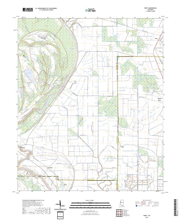
2024 Percy
Washington County, MS
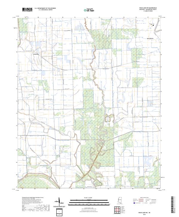
2024 Swan Lake NW
Washington County, MS
2024 Tribbett
Washington County, MS
2024 Wayside
Washington County, MS