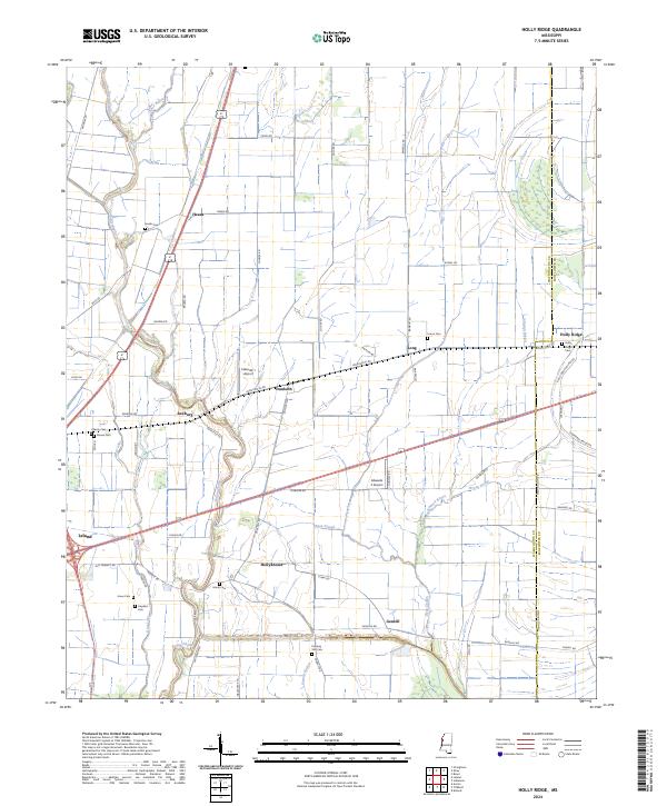
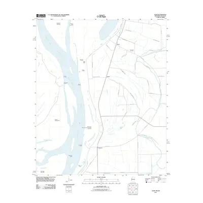
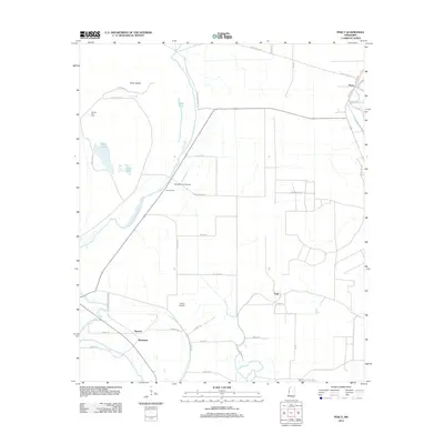
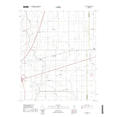
2024 Map of Holly Ridge
USGS Topo · Published 2024About this map
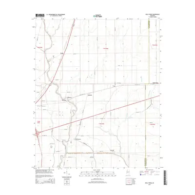
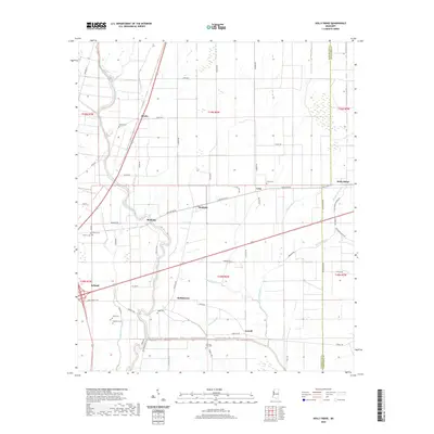
Bogue Phalia winds through this section of the Mississippi Delta, anchoring a landscape defined by its intricate drainage networks and small rural hamlets. The map reveals the layout of agricultural settlements such as Dunleith, Rexburg, and Hollyknowe, where the grid of local roads like Doolittle Rd and Rexburg Rd meets the natural curves of Knox Bayou and Bear Lake. This area is particularly rich in genealogical sites, featuring several family and community burial grounds including Union Cem, Heads Cem, and Evening Star Cem. The inclusion of Edwards 1 Airport and Edwards 2 Airport among the cotton fields and sloughs highlights the modern intersection of aviation and agriculture in Washington Co. The boundary line with Sunflower Co runs through the eastern portion of the sheet near Holly Ridge, where Johnson Bayou and the oddly named Wrong Prong channel water through the fertile lowlands.
Find a feature on this map
72 named features on this map. Tap any name to fly to it.
Don’t see what you’re looking for? This feature index may not catch every label — zoom into the map to look around manually.
Map Details
Editions of this 2024 Holly Ridge Map
This is the sole edition of this map. No revisions or reprints were ever made.
Historical Maps of Holly Ridge Through Time
42 maps found

1939 Swan Lake
Washington County, MS

1939 Tralake
Washington County, MS
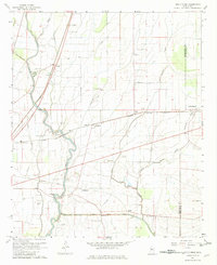
1967 Holly Ridge
Washington County, MS
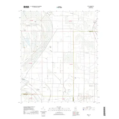
1967 Percy
Washington County, MS
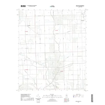
1967 Swan Lake NW
Washington County, MS

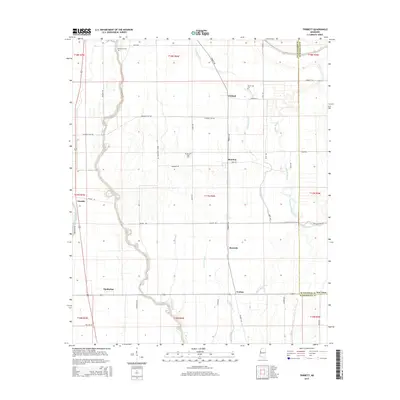
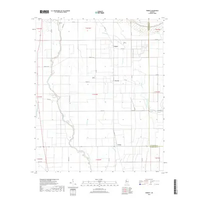
1967 Tribbett
Washington County, MS
1969 Swan Lake
Washington County, MS
1969 Tralake
Washington County, MS
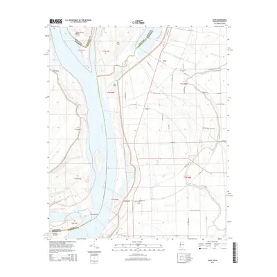
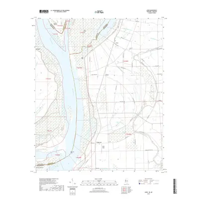
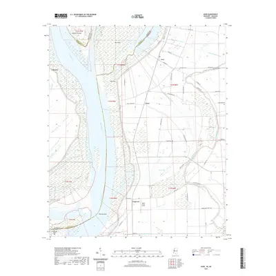
1970 Avon
Washington County, MS
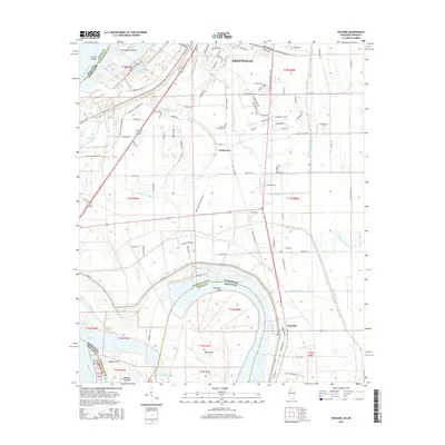
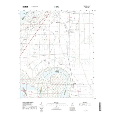
1970 Wayside
Washington County, MS
2011 Avon
Washington County, MS
2011 Wayside
Washington County, MS
2012 Avon
Washington County, MS
2012 Holly Ridge
Washington County, MS
2012 Percy
Washington County, MS
2012 Swan Lake NW
Washington County, MS
2012 Tribbett
Washington County, MS
2012 Wayside
Washington County, MS
2015 Avon
Washington County, MS
2015 Holly Ridge
Washington County, MS
2015 Percy
Washington County, MS
2015 Swan Lake NW
Washington County, MS
2015 Tribbett
Washington County, MS
2015 Wayside
Washington County, MS
2018 Avon
Washington County, MS
2018 Holly Ridge
Washington County, MS
2018 Percy
Washington County, MS
2018 Swan Lake NW
Washington County, MS
2018 Tribbett
Washington County, MS
2018 Wayside
Washington County, MS
2020 Avon
Washington County, MS
2020 Holly Ridge
Washington County, MS
2020 Percy
Washington County, MS
2020 Swan Lake NW
Washington County, MS
2020 Tribbett
Washington County, MS
2020 Wayside
Washington County, MS
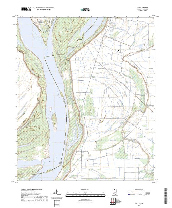
2024 Avon
Washington County, MS
2024 Holly Ridge
Washington County, MS
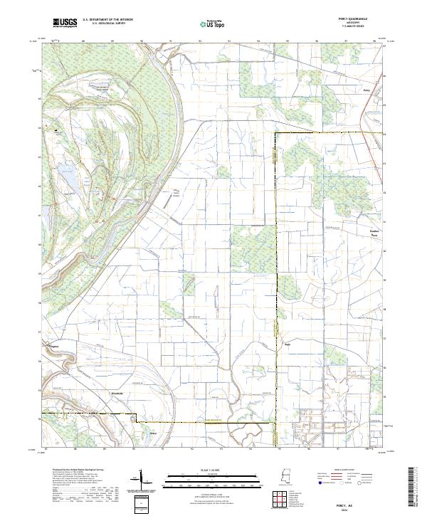
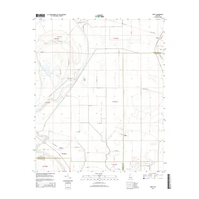
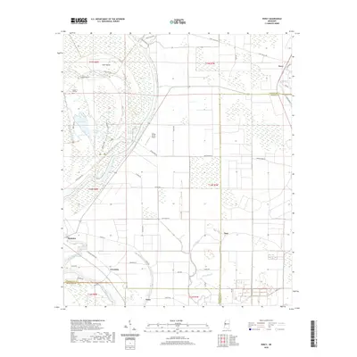
2024 Percy
Washington County, MS
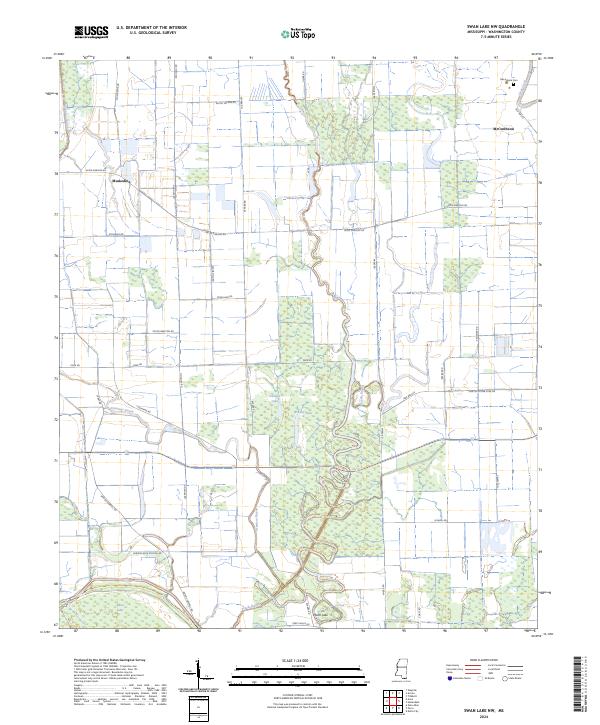
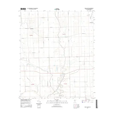
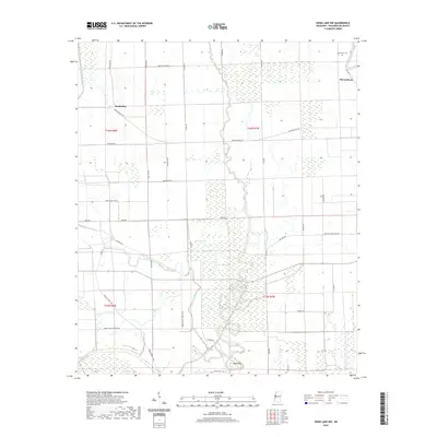
2024 Swan Lake NW
Washington County, MS
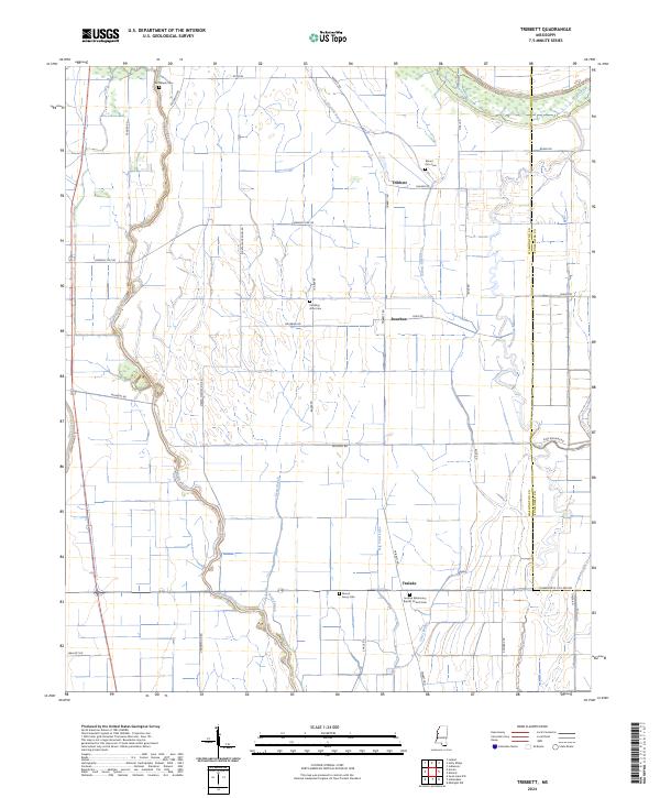
2024 Tribbett
Washington County, MS
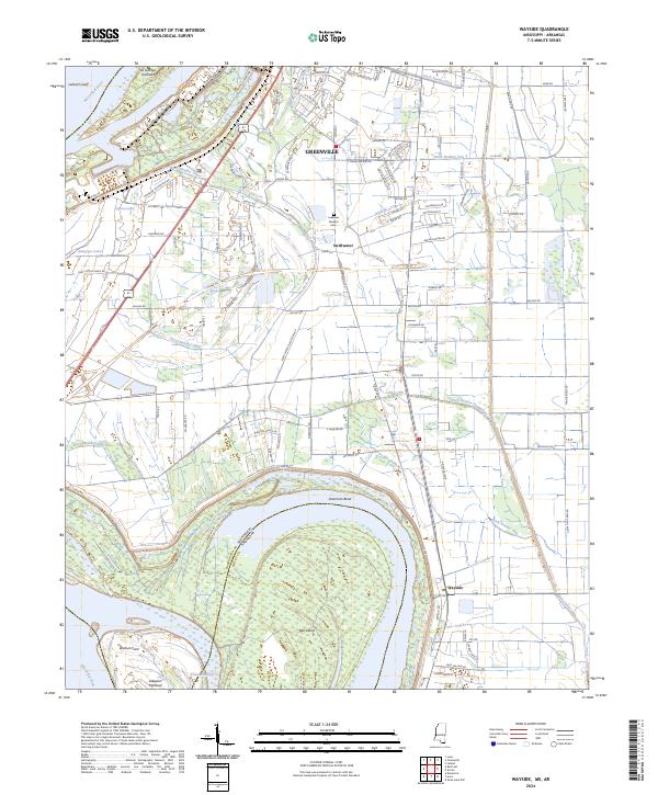
2024 Wayside
Washington County, MS