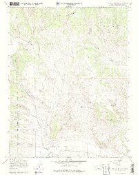
1967 Map of Trickle Mountain
USGS Topo · Published 1979About this map
Rio Grande National Forest dominates the high-altitude terrain of Saguache County in this 1960s survey. The landscape is defined by a dense network of watercourses and canyons, including Saguache Creek, Rabbit Canyon, and Taylor Canyon. Resource management and early exploration are evident through the presence of the Upper Saguache Guard Station and scattered markings for Prospects and Prospect sites throughout the hills.
Find a feature on this map
26 named features on this map. Tap any name to fly to it.
Don’t see what you’re looking for? This feature index may not catch every label — zoom into the map to look around manually.
Map Details
Editions of this 1967 Trickle Mountain Map
4 editions found
Other maps of this area

1956 · Montrose
USGS Topo · 1:250,000

1959 · Montrose
USGS Topo · 1:250,000

1960 · Montrose
USGS Topo · 1:250,000

1962 · West Baldy
USGS Topo · 1:24,000
1967 · North Pass
USGS Topo · 1:24,000

1967 · Sargents Mesa
USGS Topo · 1:24,000
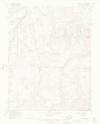
1967 · Laughlin Gulch
USGS Topo · 1:24,000

1967 · Trickle Mountain
USGS Topo · 1:24,000
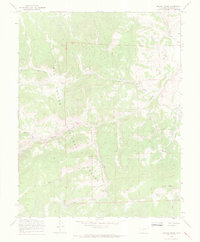
1967 · Grouse Creek
USGS Topo · 1:24,000

1967 · Lake Mountain NE
USGS Topo · 1:24,000