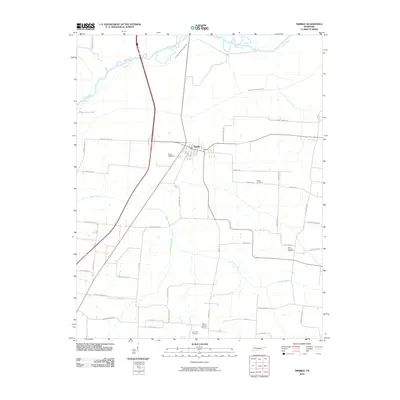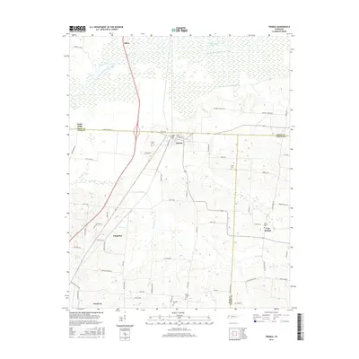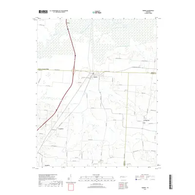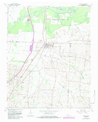
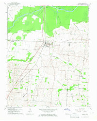
1965 Map of Trimble
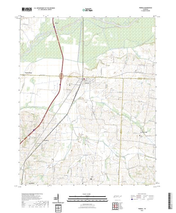
USGS Topo · Published 1983About this map
Trimble serves as the central hub of this West Tennessee landscape, situated where the Illinois Central Gulf railroad cuts through the intersection of the Obion Co Dyer Co line. The northern portion of the map is dominated by the sprawling wetlands of the Gooch Wildlife Management Area, where the Obion River meanders through a network of drainage canals and old riverbeds. This area reflects a complex water management history, evidenced by features like the Rock Levee Road and various named creeks including Reeds Creek and Mulherin Creek.
Find a feature on this map
32 named features on this map. Tap any name to fly to it.
Don’t see what you’re looking for? This feature index may not catch every label — zoom into the map to look around manually.
Map Details
Editions of this 1965 Trimble Map
2 editions found
Historical Maps of Newbern Through Time
6 maps found