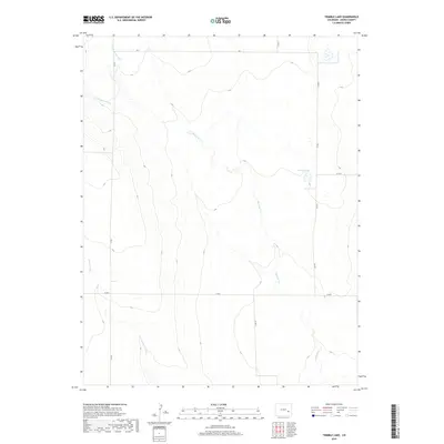
2019 Map of Trimble Lake
USGS Topo · Published 2019About this map
Mustang Creek and its northern and southern forks dominate this arid landscape within Kiowa County. The drainage network, including N Fork Mustang Creek and S Fork Mustang Creek, converges to form the primary waterway flowing through the eastern half of the quadrangle. A distinct point of interest is Trimble Lake, a small water body situated near the junction of Co RD 7 and Co RD P. The region is defined by a sparse network of section-line roads, such as RD T and Co RD 6, which facilitate travel through the vast agricultural and grazing lands of eastern Colorado. Sand Arroyo cuts across the southwestern corner, illustrating the ephemeral nature of the local hydrology and the typical land-survey patterns of the High Plains.
Find a feature on this map
16 named features on this map. Tap any name to fly to it.
Don’t see what you’re looking for? This feature index may not catch every label — zoom into the map to look around manually.
Map Details
Editions of this 2019 Trimble Lake Map
This is the sole edition of this map. No revisions or reprints were ever made.
Other maps of this area

1889 · Sanborn
USGS Topo · 1:125,000

1891 · Sanborn
USGS Topo · 1:125,000

1891 · Catlin
USGS Topo · 1:125,000

1891 · Arroyo
USGS Topo · 1:125,000

1891 · Las Animas
USGS Topo · 1:125,000

1893 · Arroyo
USGS Topo · 1:125,000

1893 · Sanborn
USGS Topo · 1:125,000

1893 · Las Animas
USGS Topo · 1:125,000

1893 · Catlin
USGS Topo · 1:125,000

1954 · Lamar
USGS Topo · 1:250,000