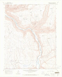
1965 Map of Trimble Point
USGS Topo · Published 1968About this map
The Dolores River winds through this mid-1960s landscape, carving a deep path south of Salter Canyon and through the San Juan National Forest. The map documents a complex water management system essential for this high-altitude environment, featuring numerous small reservoirs and springs such as Hoppe Point Reservoir, Dunham Reservoir, and Campbell Reservoir. A network of irrigation channels, including the Lone Pine Lateral and Main Canal No 2, suggests the agricultural efforts on the flatter benches above the river canyons.
Find a feature on this map
42 named features on this map. Tap any name to fly to it.
Don’t see what you’re looking for? This feature index may not catch every label — zoom into the map to look around manually.
Map Details
Editions of this 1965 Trimble Point Map
4 editions found
Other maps of this area

1956 · Cortez
USGS Topo · 1:250,000

1958 · Cortez
USGS Topo · 1:250,000

1959 · Cortez
USGS Topo · 1:250,000

1962 · Cortez
USGS Topo · 1:250,000

1965 · Willow Spring
USGS Topo · 1:24,000

1965 · Dolores East
USGS Topo · 1:24,000

1965 · Dolores West
USGS Topo · 1:24,000

1965 · Yellow Jacket
USGS Topo · 1:24,000
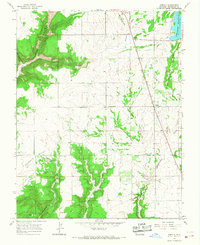
1965 · Arriola
USGS Topo · 1:24,000
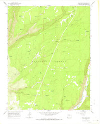
1965 · Boggy Draw
USGS Topo · 1:24,000