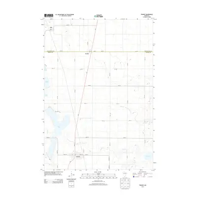
2013 Map of Trimont
USGS Topo · Published 2013About this map
The agricultural landscape of the Watonwan and Martin county line is centered around the settlements of Trimont, Odin, and Ormsby in this 2013 survey. The terrain is characterized by a complex network of glacial lakes and drainage systems, including the prominent Cedar Lake and its namesake Cedar Lake Cem. Water management is a defining feature of the local geography, evidenced by the Judicial Ditch Number Twentyone and various creeks like Willow Cr and Elm Cr that wind through the prairie. The layout of the region is strictly defined by a rectilinear grid of township roads such as 250th St and 80th Ave, with MN-4 serving as the primary north-south artery connecting these small communities. This survey documents the intersection of rural life and hydrological engineering in Southern Minnesota.
Find a feature on this map
39 named features on this map. Tap any name to fly to it.
Don’t see what you’re looking for? This feature index may not catch every label — zoom into the map to look around manually.
Map Details
Editions of this 2013 Trimont Map
This is the sole edition of this map. No revisions or reprints were ever made.
Other maps of this area

1954 · Fairmont
USGS Topo · 1:250,000

1958 · Fairmont
USGS Topo · 1:250,000

1970 · St James SE
USGS Topo · 1:24,000
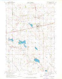
1970 · Butterfield
USGS Topo · 1:24,000
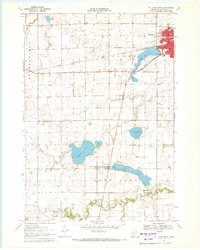
1970 · St James West
USGS Topo · 1:24,000

1970 · Trimont
USGS Topo · 1:24,000

1970 · Mountain Lake SE
USGS Topo · 1:24,000
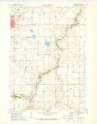
1970 · St James East
USGS Topo · 1:24,000

1970 · Welcome
USGS Topo · 1:24,000

1970 · Sherburn
USGS Topo · 1:24,000