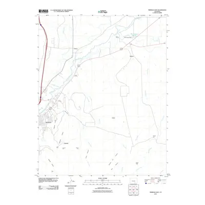
2010 Map of Trinidad East
USGS Topo · Published 2010About this map
The Trinidad city limits and its industrial periphery dominate this 2010 topographic study, revealing the deep intersection of mining history and water management in Las Animas County. The Purgatoire River carves through the northern landscape, supported by infrastructure like the Picketwire Ditch and the South Side Ditch. This water network feeds the Mike Gagliardi Reservoir, while the surrounding terrain is marked by numerous named arroyos and canyons that define the local ranching and mining geography.
Find a feature on this map
35 named features on this map. Tap any name to fly to it.
Don’t see what you’re looking for? This feature index may not catch every label — zoom into the map to look around manually.
Map Details
Editions of this 2010 Trinidad East Map
This is the sole edition of this map. No revisions or reprints were ever made.
Other maps of this area
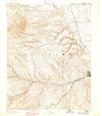
1891 · Spanish Peaks
USGS Topo · 1:125,000
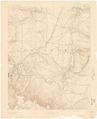
1892 · Elmoro
USGS Topo · 1:125,000
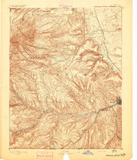
1893 · Spanish Peaks
USGS Topo · 1:125,000
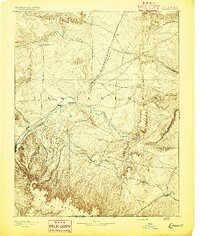
1893 · Elmoro
USGS Topo · 1:125,000
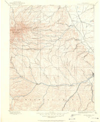
1895 · Spanish Peaks
USGS Topo · 1:125,000
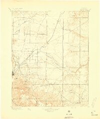
1897 · Elmoro
USGS Topo · 1:125,000
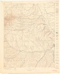
1897 · Spanish Peaks
USGS Topo · 1:125,000
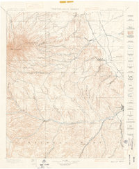
1900 · Spanish Peaks
USGS Topo · 1:125,000
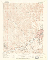
1951 · Trinidad
USGS Topo · 1:24,000
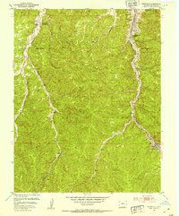
1951 · Starkville
USGS Topo · 1:24,000