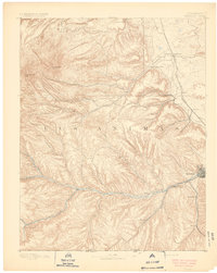
1891 Map of Trinidad
USGS Topo · Published 1891About this map
Trinidad anchors this 1889 survey as a growing regional center in southern Colorado, situated at the intersection of critical rail and water routes. The landscape is defined by the deep incisions of the Purgatoire River and the Apishapa River, which served as the primary corridors for early settlement and transport. Along these river valleys and the route of the Denver Texas and Fort Worth Railroad, small communities like Starkville, Sopris, and Morley emerged, reflecting the area's early industrial and agricultural footprint. The map documents the intricate network of canyons, including Chicosa Canyon and San Pablo Canyon, which carved the rugged Las Animas terrain. These features, along with remote outposts like Schultze Plaza and Vigil, illustrate the frontier character of the region before the turn of the century, providing a clear record of the relationship between topography and the expansion of the rail-driven economy.
Find a feature on this map
33 named features on this map. Tap any name to fly to it.
Don’t see what you’re looking for? This feature index may not catch every label — zoom into the map to look around manually.
Map Details
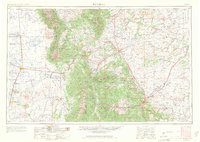
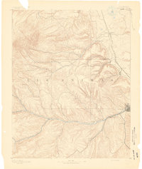
Editions of this 1891 Trinidad Map
2 editions found

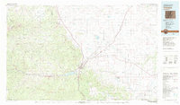
Historical Maps of Trinidad Through Time
8 maps found