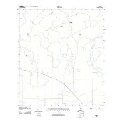
2010 Map of Trio
USGS Topo · Published 2010About this map
Blanco Creek and the Sabinal River define the drainage patterns of this South Texas landscape, where the small community of Trio sits at a junction of rural roads. The terrain is characterized by a series of deep draws and high points, including Ringtail Mountain and Sinks Hill, interspersed with named depressions such as Catclaw Hollow and Turkey Hollow. This 2010 survey illustrates the remote character of the region, where water sources like Reiner Springs and the seasonal flows of Nolton Creek were historically vital for ranching operations. The presence of Long Crossing suggests a longstanding point of transit across Little Blanco Creek, connecting isolated homesteads to the broader network of county roads like Co RD 336 and Farm Rd 30.
Find a feature on this map
27 named features on this map. Tap any name to fly to it.
Don’t see what you’re looking for? This feature index may not catch every label — zoom into the map to look around manually.
Map Details
Editions of this 2010 Trio Map
This is the sole edition of this map. No revisions or reprints were ever made.
Other maps of this area

1898 · Uvalde
USGS Topo · 1:125,000

1899 · Uvalde
USGS Topo · 1:125,000

1954 · San Antonio
USGS Topo · 1:250,000

1956 · Sabinal
USGS Topo · 1:62,500

1956 · Tarpley
USGS Topo · 1:62,500

1956 · Utopia
USGS Topo · 1:62,500

1957 · San Antonio
USGS Topo · 1:250,000

1960 · Concan
USGS Topo · 1:24,000

1960 · Magers Crossing
USGS Topo · 1:24,000

1969 · Comanche Waterhole
USGS Topo · 1:24,000