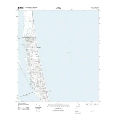
2012 Map of Tropic
USGS Topo · Published 2012About this map
Patrick Air Force Base dominates the northern shoreline of this barrier island landscape, where the Banana River and Indian River meet the Atlantic Ocean. The residential character of the early 21st century is evident in the dense street grids of South Patrick and the waterside developments surrounding Tortoise Island. To the south, the community of Tropic sits near the narrowest part of the peninsula, while Dragon Point marks the southern tip where the Banana River converges with the larger lagoon. The map details the transition from the military installation into established coastal neighborhoods like Eau Gallie Beach and Canova Beach. Local landmarks such as Mathers Bridge and the Shoppers World complex provide specific points of interest for those studying the modern infrastructure and community layout of this portion of the Florida coast.
Find a feature on this map
71 named features on this map. Tap any name to fly to it.
Don’t see what you’re looking for? This feature index may not catch every label — zoom into the map to look around manually.
Map Details
Editions of this 2012 Tropic Map
This is the sole edition of this map. No revisions or reprints were ever made.
Other maps of this area

1949 · Melbourne West
USGS Topo · 1:24,000

1949 · Melbourne East
USGS Topo · 1:24,000

1949 · Eau Gallie
USGS Topo · 1:24,000

1949 · Cocoa
USGS Topo · 1:24,000

1949 · Cocoa Beach
USGS Topo · 1:24,000

1949 · Tropic
USGS Topo · 1:24,000

1951 · Melbourne East
USGS Topo · 1:24,000

1951 · Eau Gallie
USGS Topo · 1:24,000

1951 · Cocoa
USGS Topo · 1:24,000

1951 · Melbourne West
USGS Topo · 1:24,000