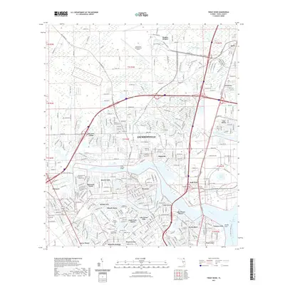
2021 Map of Trout River
USGS Topo · Published 2021About this map
Jacksonville International Airport anchors the northern reaches of this Duval County landscape, where the sprawling suburban and industrial corridors of north Jacksonville meet the intricate waterways of the Trout River. The map reveals a dense network of neighborhoods established along the river's bends, including Ribault Manor, Sherwood Forest, and Lake Forest Hills. This area is particularly significant for genealogical research, as it contains several distinct burial grounds such as Restlawn Memorial Park, the Hillside Cem Potters Field, and the Duval County Paupers Cem.
Find a feature on this map
69 named features on this map. Tap any name to fly to it.
Don’t see what you’re looking for? This feature index may not catch every label — zoom into the map to look around manually.
Map Details
Editions of this 2021 Trout River Map
This is the sole edition of this map. No revisions or reprints were ever made.
Other maps of this area

1917 · Cambon
USGS Topo · 1:62,500

1917 · Hilliard
USGS Topo · 1:62,500

1918 · St Marys
USGS Topo · 1:62,500

1918 · Cambon
USGS Topo · 1:62,500

1918 · Jacksonville
USGS Topo · 1:62,500

1919 · St Marys
USGS Topo · 1:62,500

1919 · Hilliard
USGS Topo · 1:62,500

1948 · Jacksonville
USGS Topo · 1:250,000

1948 · Eastport
USGS Topo · 1:24,000

1950 · Arlington
USGS Topo · 1:24,000
Featured Places
- Jacksonville, FL
- Biscayne Village, Jacksonville
- Dinsmore, Jacksonville
- Lake Forest Hills, Jacksonville
- Ribault Manor, Jacksonville