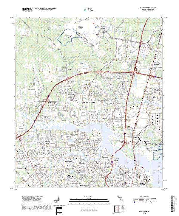
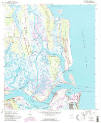
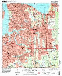
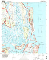
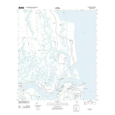
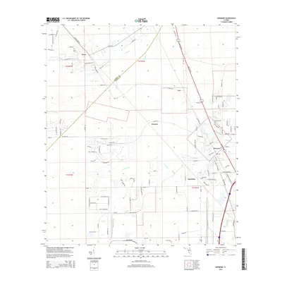
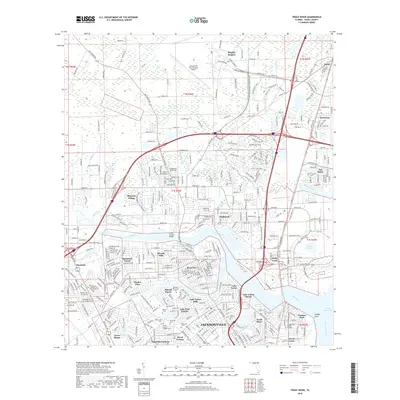
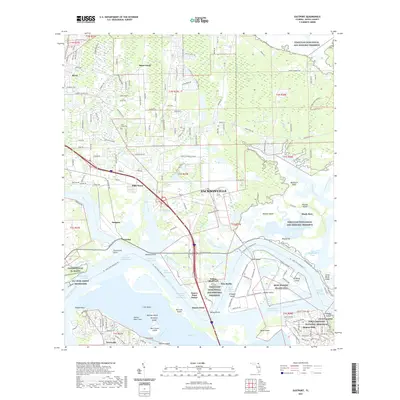
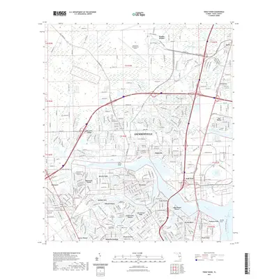
2024 Map of Trout River
USGS Topo · Published 2024About this map
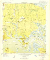
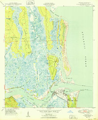
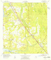
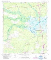
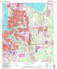
Jacksonville International Airport anchors the northern reaches of this map, serving as a modern landmark in a landscape shaped by the Trout River and its intricate tributaries. To the south, the transition from industrial corridors to residential neighborhoods is evident in established communities like Panama Park, Oceanway, and Sherwood Forest. A significant concentration of historical burial grounds, including the Hillside Cem Potters Field and the Duxal County Paupers Cem, provides vital data for genealogists tracing local lineage. The map reveals the deep intersection of water and transport, where the Saint Johns River meets the Trout River Cut and rail lines like the Jacksonville Tap weave through the city's northern suburbs. From the wetlands near Wolf Bay to the suburban street grids of Highlands and Biscayne Village, this survey documents a major Florida maritime and transit hub.
Find a feature on this map
271 named features on this map. Tap any name to fly to it.
Don’t see what you’re looking for? This feature index may not catch every label — zoom into the map to look around manually.
Map Details
Editions of this 2024 Trout River Map
This is the sole edition of this map. No revisions or reprints were ever made.
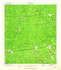
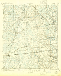
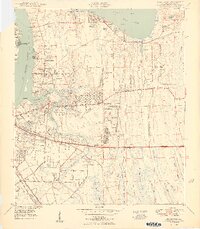
Historical Maps of Jacksonville Through Time
64 maps found
1917 Cambon
Duval County, FL
1918 Cambon
Duval County, FL

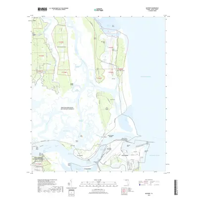
1918 Mayport
Duval County, FL

1948 Eastport
Duval County, FL
1950 Arlington
Duval County, FL
1950 Eastport
Duval County, FL
1950 Mayport
Duval County, FL

1950 Trout River
Duval County, FL
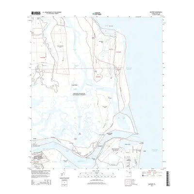
1952 Bayard
Duval County, FL
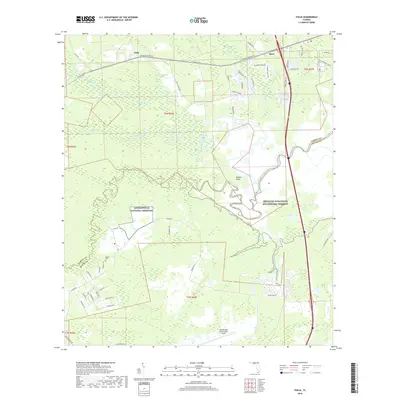
1958 Italia
Duval County, FL
1963 Arlington
Duval County, FL
1964 Bayard
Duval County, FL
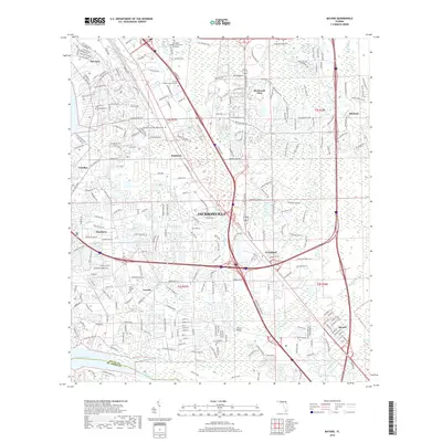
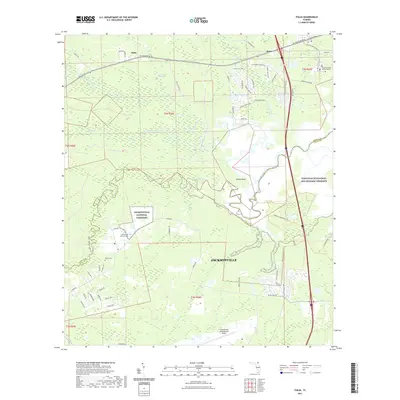
1964 Dinsmore
Duval County, FL
1964 Eastport
Duval County, FL
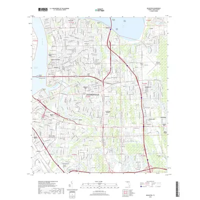
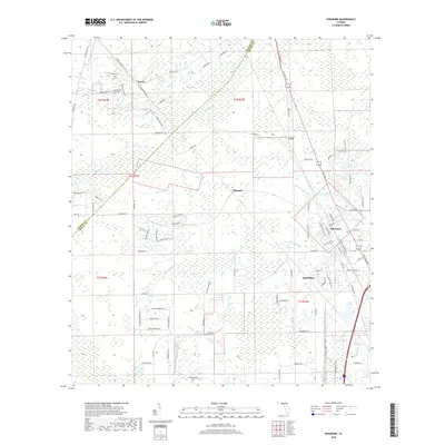
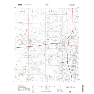
1964 Marietta
Duval County, FL
1964 Mayport
Duval County, FL
1964 Trout River
Duval County, FL
1993 Bayard
Duval County, FL
1994 Arlington
Duval County, FL
1994 Bayard
Duval County, FL
1994 Eastport
Duval County, FL
1994 Marietta
Duval County, FL
1994 Mayport
Duval County, FL
1994 Trout River
Duval County, FL
2012 Arlington
Duval County, FL
2012 Bayard
Duval County, FL
2012 Dinsmore
Duval County, FL
2012 Eastport
Duval County, FL
2012 Italia
Duval County, FL
2012 Marietta
Duval County, FL
2012 Mayport
Duval County, FL
2012 Trout River
Duval County, FL
2015 Arlington
Duval County, FL
2015 Bayard
Duval County, FL
2015 Dinsmore
Duval County, FL
2015 Eastport
Duval County, FL
2015 Italia
Duval County, FL
2015 Marietta
Duval County, FL
2015 Mayport
Duval County, FL
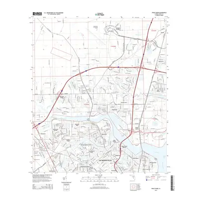
2015 Trout River
Duval County, FL
2018 Arlington
Duval County, FL
2018 Bayard
Duval County, FL
2018 Dinsmore
Duval County, FL

2018 Eastport
Duval County, FL
2018 Italia
Duval County, FL
2018 Marietta
Duval County, FL
2018 Mayport
Duval County, FL
2018 Trout River
Duval County, FL
2021 Arlington
Duval County, FL
2021 Bayard
Duval County, FL
2021 Dinsmore
Duval County, FL
2021 Eastport
Duval County, FL
2021 Italia
Duval County, FL
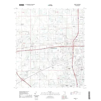
2021 Marietta
Duval County, FL
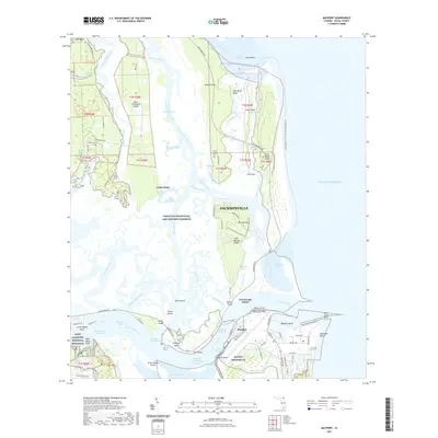
2021 Mayport
Duval County, FL
2021 Trout River
Duval County, FL
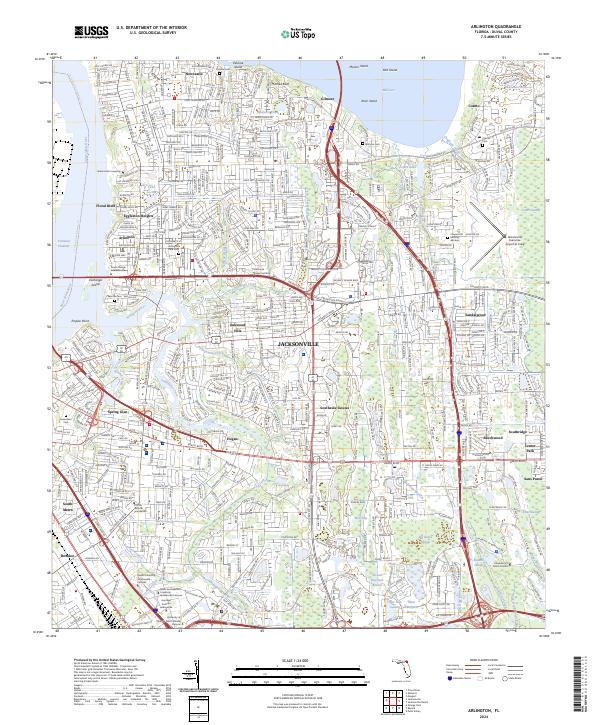
2024 Arlington
Duval County, FL
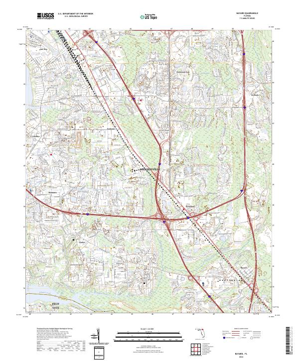
2024 Bayard
Duval County, FL
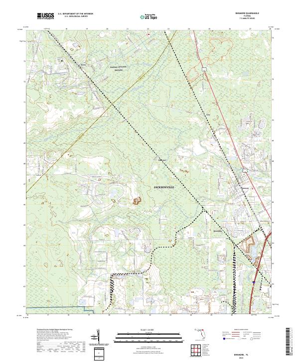
2024 Dinsmore
Duval County, FL
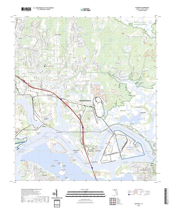
2024 Eastport
Duval County, FL
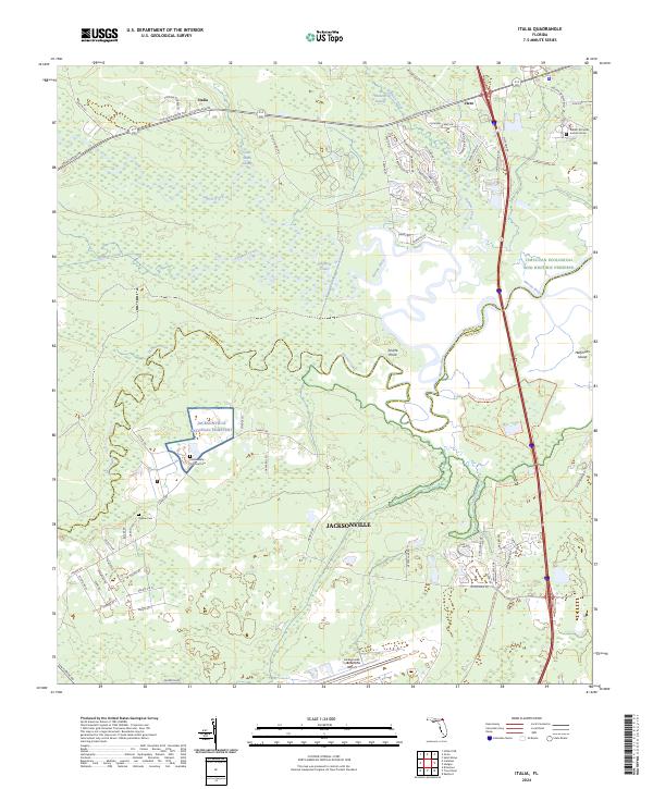
2024 Italia
Duval County, FL
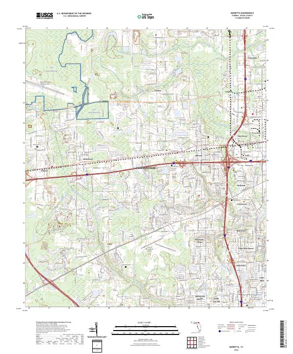
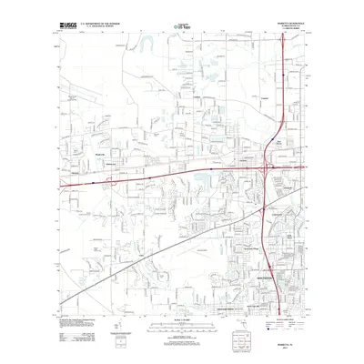
2024 Marietta
Duval County, FL
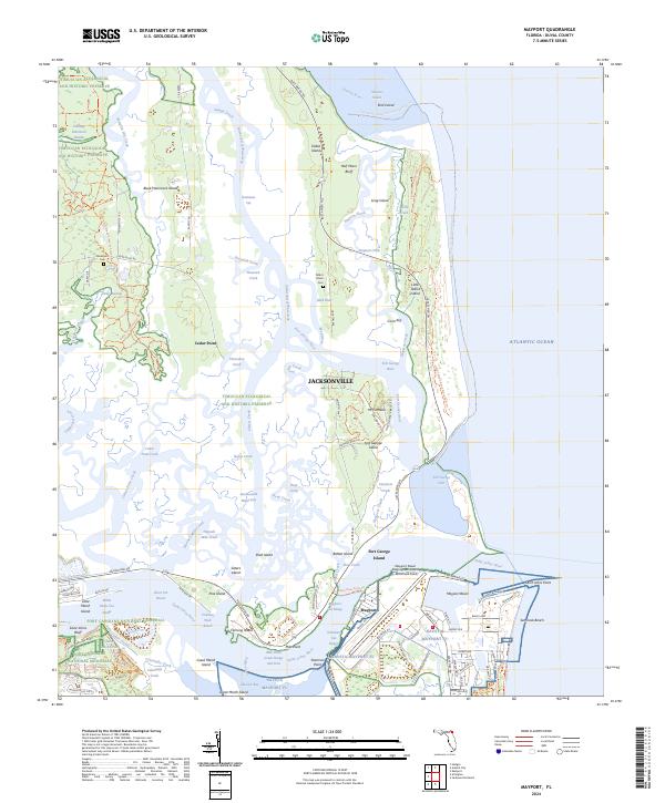
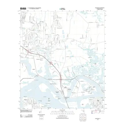
2024 Mayport
Duval County, FL
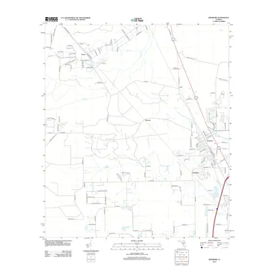
2024 Trout River
Duval County, FL
Featured Locations
- Jacksonville, FL
- Holly Ford, Jacksonville
- Beverly Hills, Jacksonville
- Garden City, Jacksonville
- Biscayne Village, Jacksonville