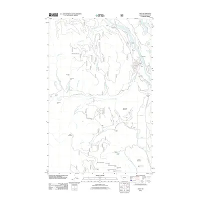
2011 Map of Troy
USGS Topo · Published 2011About this map
The Kootenai River flows through the heart of this region, shaping the layout of Troy as it sits at the convergence of mountain ridges and major watercourses. In this early 21st-century landscape, the town serves as a hub for the surrounding wilderness, featuring local landmarks like the Troy Post Office, Troy Vol Fire Dept, and the Troy Airport. The area's long relationship with the earth is evident in the dense concentration of mining operations scattered across the high peaks, particularly around Grouse Mountain. Here, specialized sites such as the Crescent Copper Mine, Giant Sunrise Mine, and several numbered Grouse Mountain shafts trace the history of mineral extraction in Lincoln County. To the west, the Snowstorm Mine and Big Eight Mine further reflect this industrial legacy. Beyond the town and mines, the landscape is defined by significant elevations like McConnell Mountain and Goat Mountain, alongside recreation spots such as the Kootenai River Campground and the waters of Alvord Lake.
Find a feature on this map
68 named features on this map. Tap any name to fly to it.
Don’t see what you’re looking for? This feature index may not catch every label — zoom into the map to look around manually.
Map Details
Editions of this 2011 Troy Map
This is the sole edition of this map. No revisions or reprints were ever made.
Other maps of this area

1911 · Priest Lake
USGS Topo · 1:250,000

1913 · Priest Lake
USGS Topo · 1:250,000

1920 · Libby
USGS Topo · 1:125,000

1930 · Libby
USGS Topo · 1:125,000

1932 · Libby
USGS Topo · 1:125,000

1951 · Mt Pend Oreille
USGS Topo · 1:62,500

1957 · Kalispell
USGS Topo · 1:250,000

1958 · Sandpoint
USGS Topo · 1:250,000

1960 · Kalispell
USGS Topo · 1:250,000

1961 · Kalispell
USGS Topo · 1:250,000