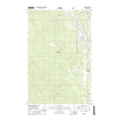
2017 Map of Troy
USGS Topo · Published 2017About this map
The Kootenai River carves a deep valley through the Purcell Mountains at the northern edge of the Kootenai National Forest, creating a narrow corridor for commerce and travel. The city of Troy is the focal point of the region, situated where the river makes a sharp bend near Scott Island. A network of local roads like Yaak Ave, W Mill Rd, and River Rd reveals the town's orientation toward the water and the nearby Troy Bridge.
Find a feature on this map
63 named features on this map. Tap any name to fly to it.
Don’t see what you’re looking for? This feature index may not catch every label — zoom into the map to look around manually.
Map Details
Editions of this 2017 Troy Map
This is the sole edition of this map. No revisions or reprints were ever made.
Other maps of this area

1911 · Priest Lake
USGS Topo · 1:250,000

1913 · Priest Lake
USGS Topo · 1:250,000

1920 · Libby
USGS Topo · 1:125,000

1930 · Libby
USGS Topo · 1:125,000

1932 · Libby
USGS Topo · 1:125,000

1951 · Mt Pend Oreille
USGS Topo · 1:62,500

1957 · Kalispell
USGS Topo · 1:250,000

1958 · Sandpoint
USGS Topo · 1:250,000

1960 · Kalispell
USGS Topo · 1:250,000

1961 · Kalispell
USGS Topo · 1:250,000