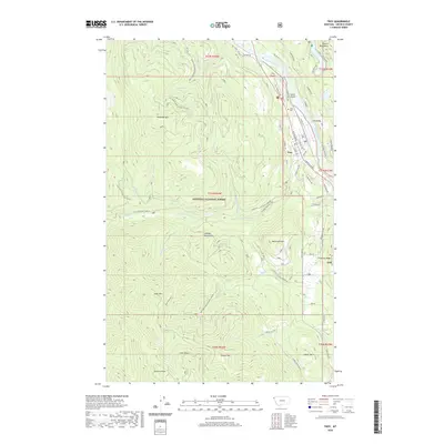
2020 Map of Troy
USGS Topo · Published 2020About this map
The Kootenai River snakes through the mountainous terrain of Lincoln County, Montana, providing a natural corridor for the BNSF Railway and the town of Troy. This 2020 survey highlights the community's infrastructure, from the Troy Airport to the Troy Cem, situated near the riverbanks. The surrounding landscape is defined by the peaks of the Cabinet Mountains and Purcell Mountains, with elevations rising sharply at McConnell Mtn and Preacher Mtn. Recreation and history meet along the Callahan Historic Trail and the Troy Walking Path, while the extensive network of national forest roads, such as St Regis Haul Rd, illustrates the region's long-standing connection to timber and land management within the Kootenai National Forest.
Find a feature on this map
76 named features on this map. Tap any name to fly to it.
Don’t see what you’re looking for? This feature index may not catch every label — zoom into the map to look around manually.
Map Details
Editions of this 2020 Troy Map
This is the sole edition of this map. No revisions or reprints were ever made.
Other maps of this area

1911 · Priest Lake
USGS Topo · 1:250,000

1913 · Priest Lake
USGS Topo · 1:250,000

1920 · Libby
USGS Topo · 1:125,000

1930 · Libby
USGS Topo · 1:125,000

1932 · Libby
USGS Topo · 1:125,000

1951 · Mt Pend Oreille
USGS Topo · 1:62,500

1957 · Kalispell
USGS Topo · 1:250,000

1958 · Sandpoint
USGS Topo · 1:250,000

1960 · Kalispell
USGS Topo · 1:250,000

1961 · Kalispell
USGS Topo · 1:250,000