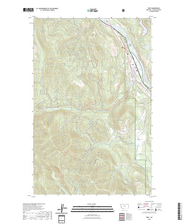
2024 Map of Troy
USGS Topo · Published 2024About this map
The Kootenai River carves through the landscape near Troy, where the river’s path separates the Cabinet Mountains to the west from the Purcell Mountains to the northeast. This modern survey illustrates the intersection of small-town Montana life and the expansive Kootenai National Forest, highlighting the Troy Airport and Troy Cem as central landmarks. The map documents an intricate network of forest development roads, such as Natl Forest Develop Road 4618 RD, which navigate the steep terrain of peaks like Preacher Mtn and McConnell Mtn. Recreational and historical paths are also evident, including the Callahan Historic Trl following the waters of Callahan Creek. Smaller water bodies like Alvord Lake and Moose Lake dot the forested highlands, while the valley floor is defined by residential streets like Missoula Ave and E Spokane Ave.
Find a feature on this map
71 named features on this map. Tap any name to fly to it.
Don’t see what you’re looking for? This feature index may not catch every label — zoom into the map to look around manually.
Map Details
Editions of this 2024 Troy Map
This is the sole edition of this map. No revisions or reprints were ever made.
Other maps of this area

1911 · Priest Lake
USGS Topo · 1:250,000

1913 · Priest Lake
USGS Topo · 1:250,000

1920 · Libby
USGS Topo · 1:125,000

1930 · Libby
USGS Topo · 1:125,000

1932 · Libby
USGS Topo · 1:125,000

1951 · Mt Pend Oreille
USGS Topo · 1:62,500

1957 · Kalispell
USGS Topo · 1:250,000

1958 · Sandpoint
USGS Topo · 1:250,000

1960 · Kalispell
USGS Topo · 1:250,000

1961 · Kalispell
USGS Topo · 1:250,000