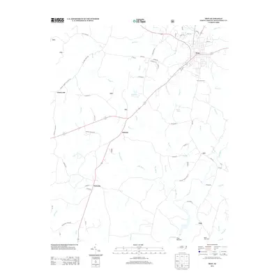
2013 Map of Troy
USGS Topo · Published 2013About this map
Troy serves as the focal point for this Montgomery County survey, situated where numerous rural routes converge. The town's surrounding landscape is defined by the winding course of the Little River and a dense network of creeks, including Rocky Cr, Lick Fork, and Muddy Cr. To the south, the terrain rises toward Piney Mountain and Buck Mountain, while the Troy Lookout Tower stands as a notable landmark overlooking the forested hills.
Find a feature on this map
67 named features on this map. Tap any name to fly to it.
Don’t see what you’re looking for? This feature index may not catch every label — zoom into the map to look around manually.
Map Details
Editions of this 2013 Troy Map
This is the sole edition of this map. No revisions or reprints were ever made.
Other maps of this area

1942 · Troy
USGS Topo · 1:125,000

1953 · Raleigh
USGS Topo · 1:250,000

1953 · Charlotte
USGS Topo · 1:250,000

1954 · Charlotte
USGS Topo · 1:250,000

1954 · Raleigh
USGS Topo · 1:250,000

1956 · Mount Gilead East
USGS Topo · 1:24,000

1956 · Harrisville
USGS Topo · 1:24,000

1956 · Mount Gilead West
USGS Topo · 1:24,000

1957 · Albemarle
USGS Topo · 1:62,500

1957 · Troy
USGS Topo · 1:62,500