
1956 Map of Harrisville
USGS Topo · Published 1957About this map
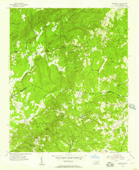
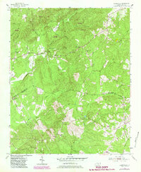
The border of Montgomery and Richmond Counties is defined by an indefinite boundary in this mid-century survey of North Carolina's Sandhills region. The small settlement of Harrisville sits centrally near Woodwards Mountain, overlooked by the Harrisville Lookout Tower. To the south, the landscape is shaped by the drainages of Buffalo Creek and Nells Creek, where the Parsons-Howell School and Covington are located. Rural life in the 1950s is evidenced by several country congregations, including Blackwood Chapel, Sardis Church, and Concord Church. Industrial and agricultural landmarks like Capels Mill near Beaverdam Creek provide clues for local historians and genealogists tracing family names in the area near Pekin and the interestingly named Ex-Way.
Find a feature on this map
38 named features on this map. Tap any name to fly to it.
Don’t see what you’re looking for? This feature index may not catch every label — zoom into the map to look around manually.
Map Details
Editions of this 1956 Harrisville Map
3 editions found
Other maps of this area

1942 · Troy
USGS Topo · 1:125,000

1949 · Millstone Lake
USGS Topo · 1:24,000

1949 · Jackson Springs
USGS Topo · 1:62,500

1950 · Norman
USGS Topo · 1:24,000

1953 · Raleigh
USGS Topo · 1:250,000

1954 · Raleigh
USGS Topo · 1:250,000

1956 · Mangum
USGS Topo · 1:24,000

1956 · Mount Gilead East
USGS Topo · 1:24,000

1956 · Ellerbe
USGS Topo · 1:24,000

1957 · Troy
USGS Topo · 1:62,500