
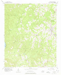
1956 Map of Ellerbe
USGS Topo · Published 1957About this map
Ellerbe serves as the primary municipal center in this mid-century Richmond County landscape, situated where the terrain transitions toward the Pee Dee River and Blewett Falls Lake. The map reveals a deeply established network of rural community landmarks, particularly churches and schools that anchored local life, including Chappell Grove Ch, Saron Ch, and Bethel Ch. To the north, Camp Dick Henning is situated near the town, highlighting the area's use for organized recreation during the 1950s.
Find a feature on this map
31 named features on this map. Tap any name to fly to it.
Don’t see what you’re looking for? This feature index may not catch every label — zoom into the map to look around manually.
Map Details
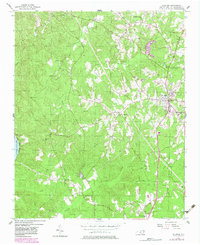
Editions of this 1956 Ellerbe Map
Other maps of this area

1942 · Troy
USGS Topo · 1:125,000

1942 · Rockingham
USGS Topo · 1:125,000

1949 · Millstone Lake
USGS Topo · 1:24,000

1949 · Hamlet
USGS Topo · 1:24,000

1949 · Hamlet
USGS Topo · 1:62,500

1949 · Jackson Springs
USGS Topo · 1:62,500

1950 · Norman
USGS Topo · 1:24,000

1953 · Florence
USGS Topo · 1:250,000

1953 · Raleigh
USGS Topo · 1:250,000

1954 · Florence
USGS Topo · 1:250,000