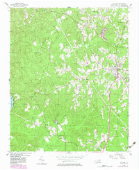
1956 Map of Ellerbe
USGS Topo · Published 1983About this map
Ellerbe serves as the primary hub in this mid-century survey of Richmond County, where the Seaboard Coast Line railroad runs north-to-south through the center of town. The landscape is defined by the transition from the rolling Sand Hills in the southeast to more prominent terrain like Pea Ridge and various unnamed peaks to the west. Water features heavily in the local geography, with the Pee Dee River and the Blewett Falls Lake Spillway marking the western edge of the quadrangle.
Find a feature on this map
33 named features on this map. Tap any name to fly to it.
Don’t see what you’re looking for? This feature index may not catch every label — zoom into the map to look around manually.
Map Details
Editions of this 1956 Ellerbe Map

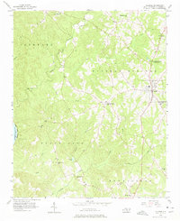
Other maps of this area

1942 · Troy
USGS Topo · 1:125,000

1942 · Rockingham
USGS Topo · 1:125,000

1949 · Millstone Lake
USGS Topo · 1:24,000

1949 · Hamlet
USGS Topo · 1:24,000

1949 · Hamlet
USGS Topo · 1:62,500

1949 · Jackson Springs
USGS Topo · 1:62,500

1950 · Norman
USGS Topo · 1:24,000

1953 · Florence
USGS Topo · 1:250,000

1953 · Raleigh
USGS Topo · 1:250,000

1954 · Florence
USGS Topo · 1:250,000