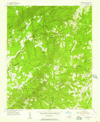
1956 Map of Harrisville
USGS Topo · Published 1968About this map
The boundary between Montgomery and Richmond Counties runs through this mid-1950s landscape, where rural life is anchored by a network of local churches and small settlements. The community of Harrisville sits near the Harrisville Lookout Tower, overlooking a terrain defined by Pee Dee Ridge and several prominent peaks like Woodwards Luther Mountain. A notable industrial relic of the era is Capels Mill, located along a creek south of the ridge.
Find a feature on this map
34 named features on this map. Tap any name to fly to it.
Don’t see what you’re looking for? This feature index may not catch every label — zoom into the map to look around manually.
Map Details
Editions of this 1956 Harrisville Map
3 editions found
Other maps of this area

1942 · Troy
USGS Topo · 1:125,000

1949 · Millstone Lake
USGS Topo · 1:24,000

1949 · Jackson Springs
USGS Topo · 1:62,500

1950 · Norman
USGS Topo · 1:24,000

1953 · Raleigh
USGS Topo · 1:250,000

1954 · Raleigh
USGS Topo · 1:250,000

1956 · Mangum
USGS Topo · 1:24,000

1956 · Mount Gilead East
USGS Topo · 1:24,000

1956 · Ellerbe
USGS Topo · 1:24,000

1956 · Harrisville
USGS Topo · 1:24,000