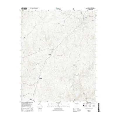
2016 Map of Troy
USGS Topo · Published 2016About this map
The Uwharrie National Forest dominates the central landscape of this Montgomery County survey, illustrating the complex boundary between public timberlands and established rural communities. The town of Troy sits in the northeast corner, serving as a hub near the headwaters of Warner Cr and Bishop Cr. To the south and west, the terrain is defined by a network of creeks and small family settlements, including Wadeville, Roberdo, and Liberty Hill.
Find a feature on this map
61 named features on this map. Tap any name to fly to it.
Don’t see what you’re looking for? This feature index may not catch every label — zoom into the map to look around manually.
Map Details
Editions of this 2016 Troy Map
This is the sole edition of this map. No revisions or reprints were ever made.
Other maps of this area

1942 · Troy
USGS Topo · 1:125,000

1953 · Raleigh
USGS Topo · 1:250,000

1953 · Charlotte
USGS Topo · 1:250,000

1954 · Charlotte
USGS Topo · 1:250,000

1954 · Raleigh
USGS Topo · 1:250,000

1956 · Mount Gilead East
USGS Topo · 1:24,000

1956 · Harrisville
USGS Topo · 1:24,000

1956 · Mount Gilead West
USGS Topo · 1:24,000

1957 · Albemarle
USGS Topo · 1:62,500

1957 · Troy
USGS Topo · 1:62,500