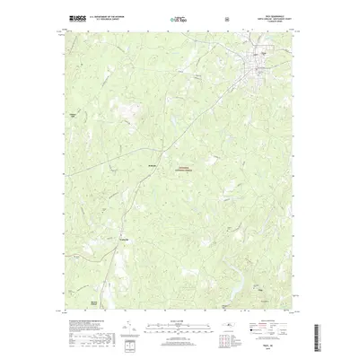
2019 Map of Troy
USGS Topo · Published 2019About this map
The Uwharrie National Forest dominates this central Montgomery County landscape, where the Little River and its numerous tributaries like Rocky Cr and Lick Fork carve through the terrain. The town of Troy serves as the regional hub in the northeast, while smaller crossroads and settlements such as Wadeville, Roberdo, and Liberty Hill dot the western and southern reaches. For those researching local families, the map is a vital resource, plotting several rural burial grounds including Southside Cem, Bruton Cem, and Ropers Grove Cem. The presence of the Uwharrie National Recreation Trail and various forest service roads through Buck Mtn and Piney Mtn reflects a landscape defined by timber and recreation. This modern survey provides a clear view of the historical settlement patterns that persist along NC Highway 24 27 E and the Wadeville Rd.
Find a feature on this map
65 named features on this map. Tap any name to fly to it.
Don’t see what you’re looking for? This feature index may not catch every label — zoom into the map to look around manually.
Map Details
Editions of this 2019 Troy Map
This is the sole edition of this map. No revisions or reprints were ever made.
Other maps of this area

1942 · Troy
USGS Topo · 1:125,000

1953 · Raleigh
USGS Topo · 1:250,000

1953 · Charlotte
USGS Topo · 1:250,000

1954 · Charlotte
USGS Topo · 1:250,000

1954 · Raleigh
USGS Topo · 1:250,000

1956 · Mount Gilead East
USGS Topo · 1:24,000

1956 · Harrisville
USGS Topo · 1:24,000

1956 · Mount Gilead West
USGS Topo · 1:24,000

1957 · Albemarle
USGS Topo · 1:62,500

1957 · Troy
USGS Topo · 1:62,500