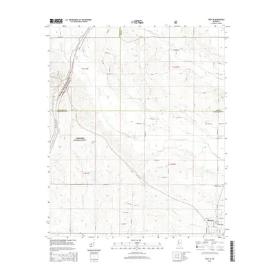
2015 Map of Troy SE
USGS Topo · Published 2015About this map
Okolona anchors the southeastern corner of this Chickasaw County landscape, showing the town's street grid where Academy St and W Main St intersect. The surrounding terrain is defined by a dense network of tributaries, including Tubbalubba Cr in the north and the meandering Tallabinnela Cr through the center. A significant corridor of protected land is established by the Tombigbee National Forest, while the historic Natchez Trace Parkway and National Scenic Trail cuts through the western sections, following the ancient path through the woods. Local history is grounded in sites like Pleasant Grove Cem and Memory Gardens, alongside numerous rural crossings like Balls Br. The map illustrates a transition from the structured blocks of Okolona to the sprawling timberlands and creek bottoms that dominate the borderlands of Lee and Pontotoc counties.
Find a feature on this map
50 named features on this map. Tap any name to fly to it.
Don’t see what you’re looking for? This feature index may not catch every label — zoom into the map to look around manually.
Map Details
Editions of this 2015 Troy SE Map
This is the sole edition of this map. No revisions or reprints were ever made.
Other maps of this area

1953 · West Point
USGS Topo · 1:250,000

1956 · Tupelo
USGS Topo · 1:250,000

1958 · Tupelo
USGS Topo · 1:250,000

1958 · West Point
USGS Topo · 1:250,000

1959 · Van Vleet
USGS Topo · 1:62,500

1963 · West Point
USGS Topo · 1:250,000

1965 · Egypt
USGS Topo · 1:24,000

1966 · Shannon
USGS Topo · 1:24,000

1966 · Troy NW
USGS Topo · 1:24,000

1966 · Troy SE
USGS Topo · 1:24,000