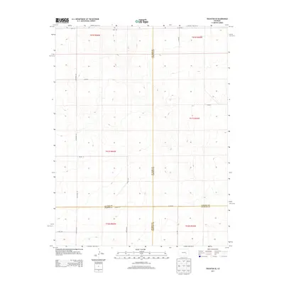
2013 Map of Truckton SE
USGS Topo · Published 2013About this map
The high plains where El Paso and Lincoln counties meet define this landscape of the early twenty-first century. This territory is characterized by a sparse grid of rural routes and sectional boundaries, illustrating the expansive nature of Eastern Colorado's ranching or agricultural country. Significant jurisdictional markers cross the terrain, including the meeting point of four counties at the southern edge, where El Paso and Pueblo counties border Lincoln and Crowley counties. Local transit relies on a network of named roads such as Whittemore Rd and Co Highway H, which navigate the subtle draws and ridges of the prairie. The topography is dominated by wide, open drainage patterns and gentle elevations, with specific access points provided by Prairie Hill Rd and Myers Rd.
Find a feature on this map
23 named features on this map. Tap any name to fly to it.
Don’t see what you’re looking for? This feature index may not catch every label — zoom into the map to look around manually.
Map Details
Editions of this 2013 Truckton SE Map
This is the sole edition of this map. No revisions or reprints were ever made.
Other maps of this area

1889 · Sanborn
USGS Topo · 1:125,000

1891 · Sanborn
USGS Topo · 1:125,000

1891 · Catlin
USGS Topo · 1:125,000

1891 · Nepesta
USGS Topo · 1:125,000

1893 · Nepesta
USGS Topo · 1:125,000

1893 · Sanborn
USGS Topo · 1:125,000

1893 · Big Springs
USGS Topo · 1:125,000

1893 · Catlin
USGS Topo · 1:125,000

1904 · Nepesta
USGS Topo · 1:125,000

1954 · Lamar
USGS Topo · 1:250,000