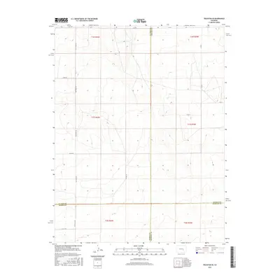
2016 Map of Truckton SE
USGS Topo · Published 2016About this map
The high plains where El Paso, Pueblo, Lincoln, and Crowley counties meet define this 2016 survey. This sparsely populated intersection of the Colorado plains is characterized by a grid of rural routes that facilitate access to large ranching or agricultural tracts. Prominent local thoroughfares such as Whittemore Rd and Prairie Hill Rd provide the primary north-south connectivity through the rolling terrain, while Rasner Rd and Myers Rd anchor the local road network. The map reveals the intricate surveying of the Public Land Survey System, specifically detailing townships including t17s r60w and t16s r59w. The landscape is etched with the subtle drainages and topographic contours typical of this portion of the western steppe, where the boundary lines between four counties converge in a quiet, wide-open expanse.
Find a feature on this map
21 named features on this map. Tap any name to fly to it.
Don’t see what you’re looking for? This feature index may not catch every label — zoom into the map to look around manually.
Map Details
Editions of this 2016 Truckton SE Map
This is the sole edition of this map. No revisions or reprints were ever made.
Other maps of this area

1889 · Sanborn
USGS Topo · 1:125,000

1891 · Sanborn
USGS Topo · 1:125,000

1891 · Catlin
USGS Topo · 1:125,000

1891 · Nepesta
USGS Topo · 1:125,000

1893 · Nepesta
USGS Topo · 1:125,000

1893 · Sanborn
USGS Topo · 1:125,000

1893 · Big Springs
USGS Topo · 1:125,000

1893 · Catlin
USGS Topo · 1:125,000

1904 · Nepesta
USGS Topo · 1:125,000

1954 · Lamar
USGS Topo · 1:250,000