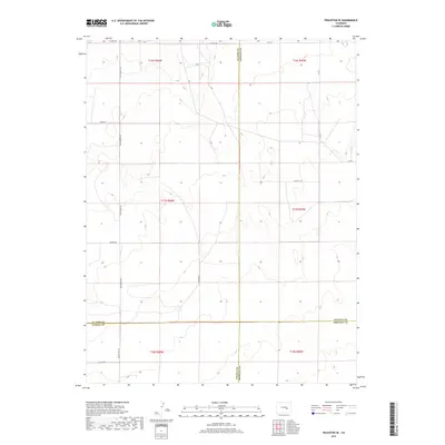
2019 Map of Truckton SE
USGS Topo · Published 2019About this map
The intersection of four Colorado counties—El Paso, Lincoln, Pueblo, and Crowley—serves as the primary jurisdictional focus of this high plains survey. The landscape is defined by its sectional grid and a network of rural routes including Whittemore Rd and Rasner Rd. The terrain is characterized by subtle drainage patterns and seasonal watercourses that cut through the open ranching land, with Prairie Hill Rd providing access to the southern reaches near the Pueblo-Crowley border. Local transportation is facilitated by established corridors like S Neely Rd and Co Rd 3, reflecting the enduring land use patterns of this agricultural and grazing region. The map provides a clear look at the township and range divisions, showing the precise alignment of boundaries and local roads in a sparsely settled part of the state.
Find a feature on this map
21 named features on this map. Tap any name to fly to it.
Don’t see what you’re looking for? This feature index may not catch every label — zoom into the map to look around manually.
Map Details
Editions of this 2019 Truckton SE Map
This is the sole edition of this map. No revisions or reprints were ever made.
Other maps of this area

1889 · Sanborn
USGS Topo · 1:125,000

1891 · Sanborn
USGS Topo · 1:125,000

1891 · Catlin
USGS Topo · 1:125,000

1891 · Nepesta
USGS Topo · 1:125,000

1893 · Nepesta
USGS Topo · 1:125,000

1893 · Sanborn
USGS Topo · 1:125,000

1893 · Big Springs
USGS Topo · 1:125,000

1893 · Catlin
USGS Topo · 1:125,000

1904 · Nepesta
USGS Topo · 1:125,000

1954 · Lamar
USGS Topo · 1:250,000