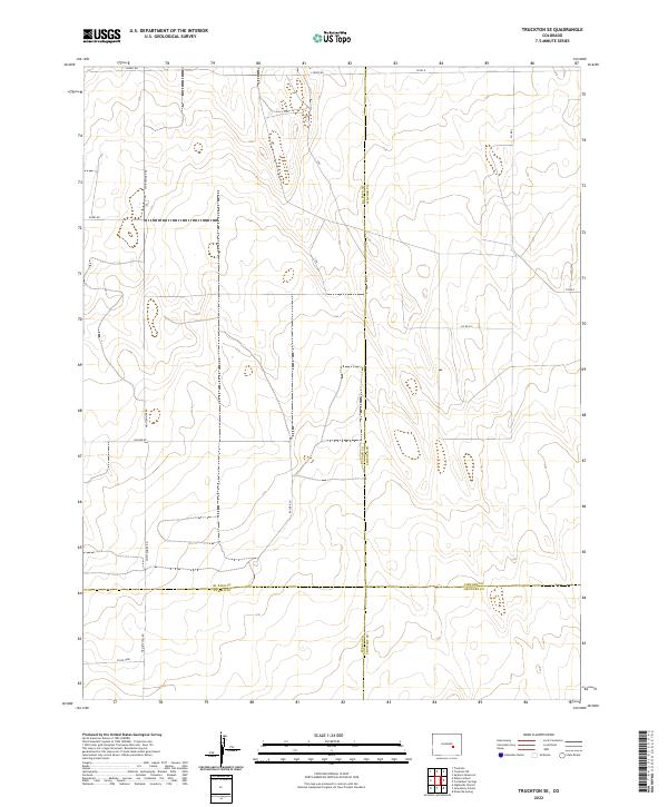
2022 Map of Truckton SE
USGS Topo · Published 2022About this map
The high plains of eastern Colorado converge at a rare four-county junction on this 2022 survey, where the boundaries of El Paso, Lincoln, Pueblo, and Crowley counties meet. This intersection of municipal lines defines a landscape of vast sectioned grazing lands and long-haul ranch roads. The grid of the Public Land Survey System is evident in the layout of thoroughfares like Whittemore Rd and Rasner Rd, which stretch across the undulating terrain. To the north, S Neely Rd and Co Rd H mark the transition into the southern reaches of Lincoln County. The sparse distribution of named features and the reliance on numbered routes such as Co Rd 3608 and Co Rd E 5 underscore the open, rural character of this region, where the primary human footprint is the enduring network of township and range boundaries.
Find a feature on this map
21 named features on this map. Tap any name to fly to it.
Don’t see what you’re looking for? This feature index may not catch every label — zoom into the map to look around manually.
Map Details
Editions of this 2022 Truckton SE Map
This is the sole edition of this map. No revisions or reprints were ever made.
Other maps of this area

1889 · Sanborn
USGS Topo · 1:125,000

1891 · Sanborn
USGS Topo · 1:125,000

1891 · Catlin
USGS Topo · 1:125,000

1891 · Nepesta
USGS Topo · 1:125,000

1893 · Nepesta
USGS Topo · 1:125,000

1893 · Sanborn
USGS Topo · 1:125,000

1893 · Big Springs
USGS Topo · 1:125,000

1893 · Catlin
USGS Topo · 1:125,000

1904 · Nepesta
USGS Topo · 1:125,000

1954 · Lamar
USGS Topo · 1:250,000