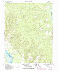
1968 Map of Truhart
USGS Topo · Published 1986About this map
Mattaponi River serves as the dominant geographical anchor for this part of King and Queen County, defining a landscape of low-lying marshes and dense creek networks. The settlement pattern is largely linear, following the higher ground between sprawling wetlands like Exol Swamp and Dragon Swamp. This late-1960s perspective, later updated in the 1980s, reveals the historical community hubs of Truhart and Dragonville, where local life was once centered around landmarks like the Lower King and Queen Ch and Second Mount Olive Ch.
Find a feature on this map
30 named features on this map. Tap any name to fly to it.
Don’t see what you’re looking for? This feature index may not catch every label — zoom into the map to look around manually.
Map Details
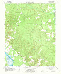
Editions of this 1968 Truhart Map
2 editions found
Other maps of this area

1917 · Urbanna
USGS Topo · 1:62,500

1917 · Morattico
USGS Topo · 1:62,500

1918 · Tappahannock
USGS Topo · 1:62,500

1918 · Morattico
USGS Topo · 1:62,500

1919 · New Kent
USGS Topo · 1:62,500

1919 · Tappahannock
USGS Topo · 1:62,500

1926 · Morattico
USGS Topo · 1:62,500

1943 · Richmond
USGS Topo · 1:250,000

1944 · Dunnsville
USGS Topo · 1:31,680

1944 · Morattico
USGS Topo · 1:31,680