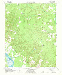
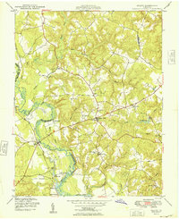
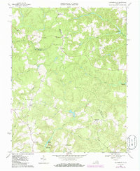
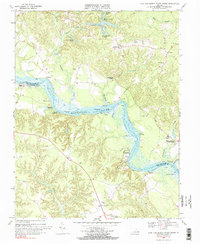
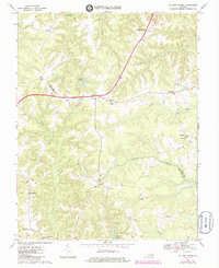
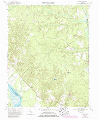
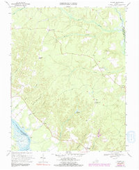
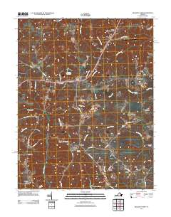
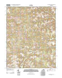
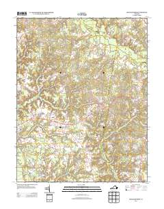
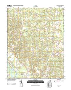
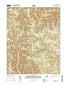
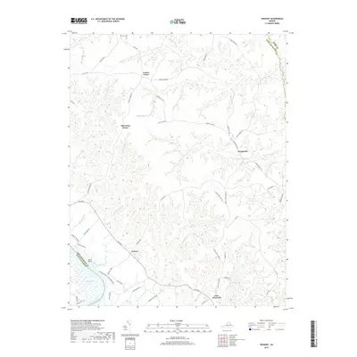
1968 Map of Truhart
USGS Topo · Published 1971About this map
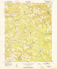
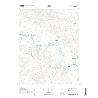
Mattaponi River tides reach into the southwestern corner of this coastal plain landscape, where the Gleason Marsh and Tidal Flat define the transition between the river and the inland forests. The interior is characterized by an intricate network of wetland drainage systems, including Exol Swamp, Holmes Swamp, and Dragon Swamp, which shaped the placement of early roads and small rural crossroads.
Find a feature on this map
30 named features on this map. Tap any name to fly to it.
Don’t see what you’re looking for? This feature index may not catch every label — zoom into the map to look around manually.
Map Details
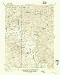
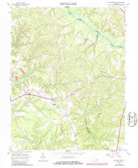
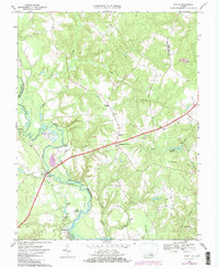
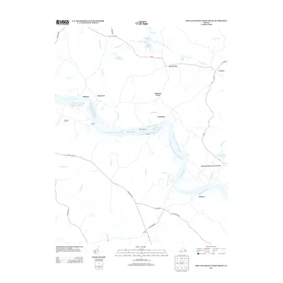
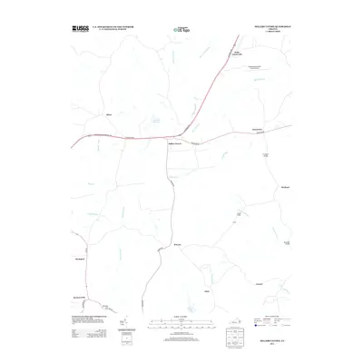
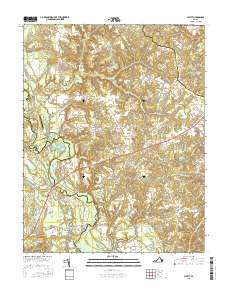
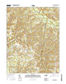
Editions of this 1968 Truhart Map
2 editions found
Historical Maps of Dragonville Through Time
46 maps found

1918 Aylett
King and Queen County, VA
1933 Aylett
King and Queen County, VA
1944 Howertons
King and Queen County, VA
1945 Howertons
King and Queen County, VA
1949 Aylett
King and Queen County, VA

1949 King And Queen
King and Queen County, VA

1949 Shacklefords
King and Queen County, VA

1949 Truhart
King and Queen County, VA
1951 Cauthornville
King and Queen County, VA
1965 Shacklefords
King and Queen County, VA
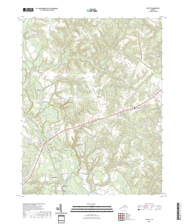
1968 Aylett
King and Queen County, VA
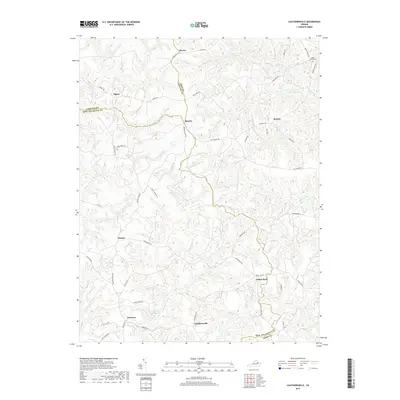
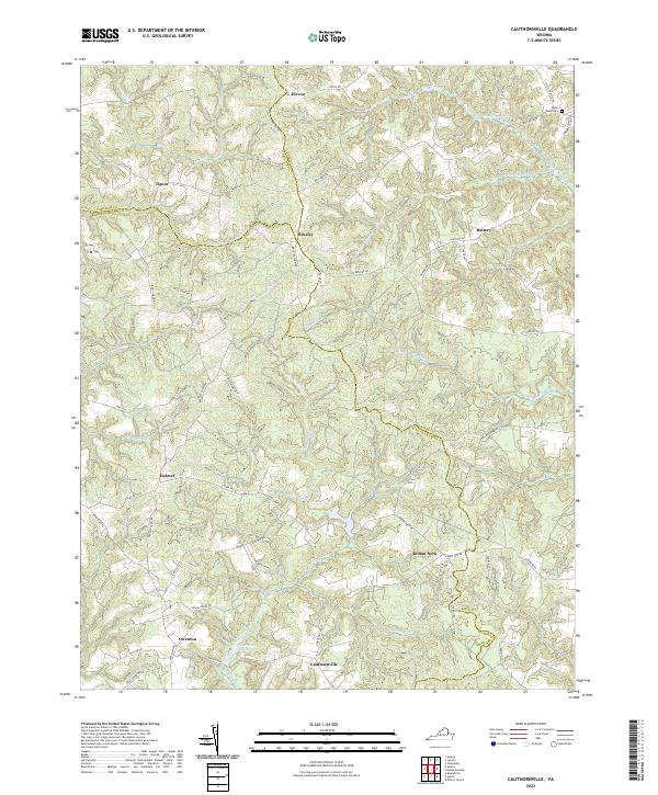
1968 Cauthornville
King and Queen County, VA
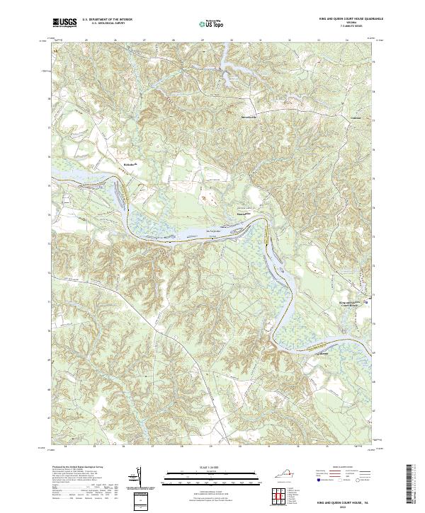
1968 King And Queen Court House
King and Queen County, VA
1968 Millers Tavern
King and Queen County, VA
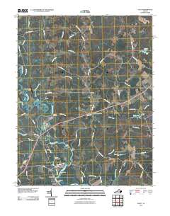
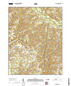
1968 Truhart
King and Queen County, VA
1970 Truhart
King and Queen County, VA
2010 Aylett
King and Queen County, VA
2010 Cauthornville
King and Queen County, VA
2011 King And Queen Court House
King and Queen County, VA
2011 Millers Tavern
King and Queen County, VA
2011 Shacklefords
King and Queen County, VA
2011 Truhart
King and Queen County, VA
2013 Aylett
King and Queen County, VA
2013 Cauthornville
King and Queen County, VA
2013 King And Queen Court House
King and Queen County, VA
2013 Millers Tavern
King and Queen County, VA
2013 Shacklefords
King and Queen County, VA
2013 Truhart
King and Queen County, VA
2016 Aylett
King and Queen County, VA
2016 Cauthornville
King and Queen County, VA
2016 King And Queen Court House
King and Queen County, VA
2016 Millers Tavern
King and Queen County, VA
2016 Shacklefords
King and Queen County, VA
2016 Truhart
King and Queen County, VA
2019 Aylett
King and Queen County, VA
2019 Cauthornville
King and Queen County, VA
2019 King And Queen Court House
King and Queen County, VA
2019 Millers Tavern
King and Queen County, VA
2019 Shacklefords
King and Queen County, VA
2019 Truhart
King and Queen County, VA
2022 Aylett
King and Queen County, VA
2022 Cauthornville
King and Queen County, VA
2022 King And Queen Court House
King and Queen County, VA
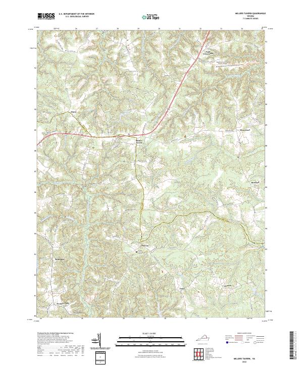
2022 Millers Tavern
King and Queen County, VA
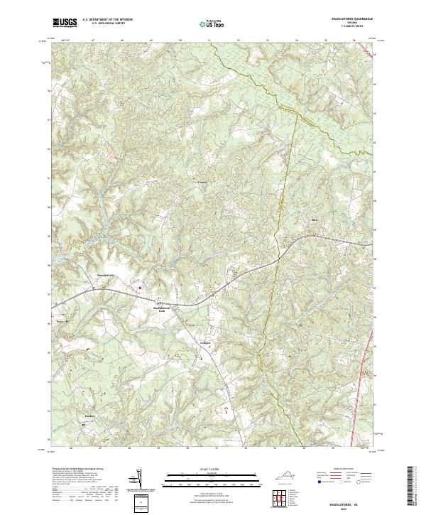
2022 Shacklefords
King and Queen County, VA
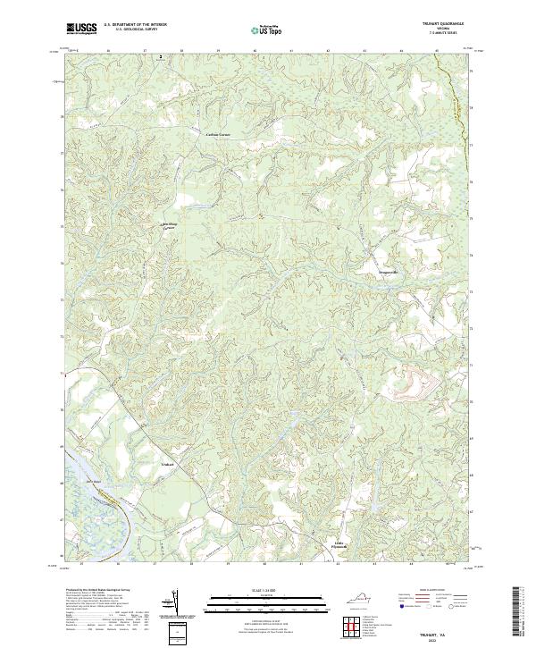
2022 Truhart
King and Queen County, VA