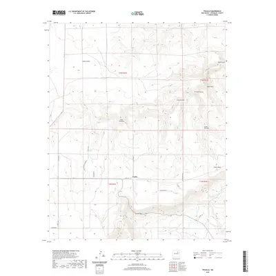
2020 Map of Trujillo
USGS Topo · Published 2020About this map
Trujillo serves as the central settlement in this high-altitude landscape of San Miguel County, where the high plains are deeply incised by a network of drainage canyons. The topography is defined by significant relief, notably marked by Corazon Hill and the seasonal flow of Corazon Cr and Trementina Cr. These watercourses have carved out numerous distinct canyons, such as Cañon Ventanas and Cañon Escovas, which dictate the layout of local infrastructure.
Find a feature on this map
27 named features on this map. Tap any name to fly to it.
Don’t see what you’re looking for? This feature index may not catch every label — zoom into the map to look around manually.
Map Details
Editions of this 2020 Trujillo Map
This is the sole edition of this map. No revisions or reprints were ever made.
Other maps of this area

1892 · Watrous
USGS Topo · 1:125,000

1892 · Corazon
USGS Topo · 1:125,000

1894 · Corazon
USGS Topo · 1:125,000

1894 · Watrous
USGS Topo · 1:125,000

1954 · Santa Fe
USGS Topo · 1:250,000

1958 · Santa Fe
USGS Topo · 1:250,000

1963 · Flagstone Mountain
USGS Topo · 1:24,000

1971 · Laguna Huerfana
USGS Topo · 1:24,000
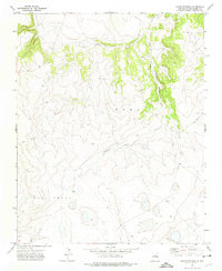
1971 · Canon Pedroso
USGS Topo · 1:24,000

1971 · Trujillo
USGS Topo · 1:24,000