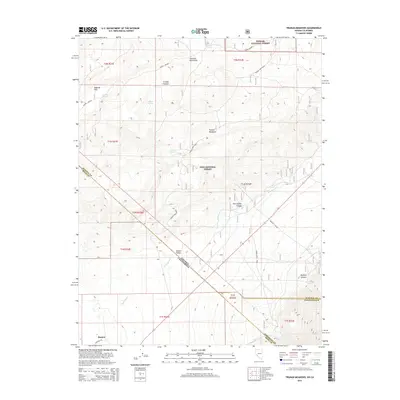
2015 Map of Truman Meadows
USGS Topo · Published 2015About this map
Benton anchors the southwest corner of this 2015 survey, which documents a high-desert landscape straddling the Nevada and California state line. The map highlights the essential water sources that supported settlement and ranching in this arid region, including Sagehen Spring, McBride Springs, and Wilson Spring. Cultural history is evident through the marking of Truman Mdw Ranch and the network of primitive roads like Pedro Ranch Road and Queens Canyon. The terrain transitions from the high peaks of the Huntoon Mountains down to the wide basins of McBride Flat and Queen Valley. This survey provides a modern record of land use within the Toiyabe National Forest and Inyo National Forest, tracing the intricate drainage patterns of Hutchinson Cr and Morris Cr as they flow through the canyons and meadows of the Great Basin.
Find a feature on this map
34 named features on this map. Tap any name to fly to it.
Don’t see what you’re looking for? This feature index may not catch every label — zoom into the map to look around manually.
Map Details
Editions of this 2015 Truman Meadows Map
This is the sole edition of this map. No revisions or reprints were ever made.
Other maps of this area

1909 · Hawthorne
USGS Topo · 1:250,000

1911 · Hawthorne
USGS Topo · 1:250,000

1914 · Mt. Morrison
USGS Topo · 1:125,000

1915 · Hawthorne
USGS Topo · 1:250,000

1917 · White Mountain
USGS Topo · 1:125,000

1947 · Mariposa
USGS Topo · 1:250,000

1948 · Walker Lake
USGS Topo · 1:250,000

1948 · Mariposa
USGS Topo · 1:250,000

1957 · Walker Lake
USGS Topo · 1:250,000

1957 · Mariposa
USGS Topo · 1:250,000