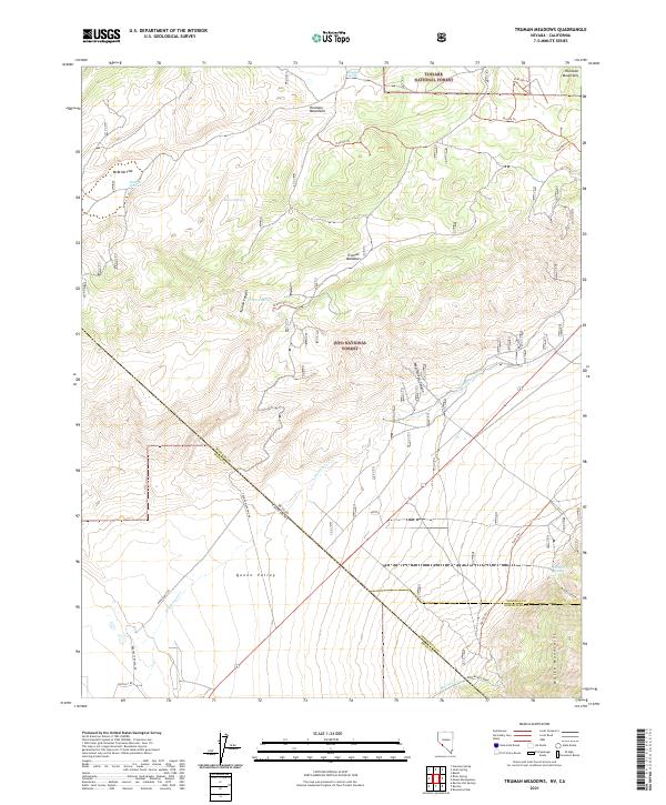
2021 Map of Truman Meadows
USGS Topo · Published 2021About this map
Truman Meadows and the high desert basins of the Huntoon Mountains define this landscape along the Nevada and California border. This terrain is marked by a complex network of springs and canyons, including Sagehen Spring, McBride Springs, and the deep cuts of Truman Canyon and West Queen Canyon. The map records the interface between the Toiyabe National Forest and Inyo National Forest, illustrating how water sources like Truman Spring and Orchard Spring dictated movement through the arid environment.
Find a feature on this map
38 named features on this map. Tap any name to fly to it.
Don’t see what you’re looking for? This feature index may not catch every label — zoom into the map to look around manually.
Map Details
Editions of this 2021 Truman Meadows Map
This is the sole edition of this map. No revisions or reprints were ever made.
Other maps of this area

1909 · Hawthorne
USGS Topo · 1:250,000

1911 · Hawthorne
USGS Topo · 1:250,000

1914 · Mt. Morrison
USGS Topo · 1:125,000

1915 · Hawthorne
USGS Topo · 1:250,000

1917 · White Mountain
USGS Topo · 1:125,000

1947 · Mariposa
USGS Topo · 1:250,000

1948 · Walker Lake
USGS Topo · 1:250,000

1948 · Mariposa
USGS Topo · 1:250,000

1957 · Walker Lake
USGS Topo · 1:250,000

1957 · Mariposa
USGS Topo · 1:250,000