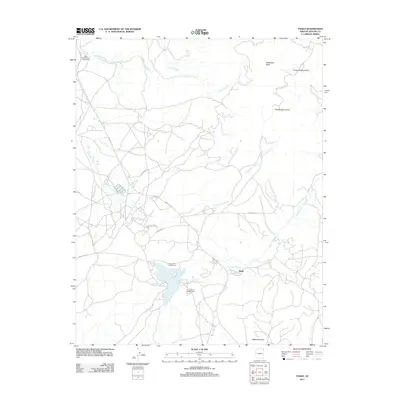
2011 Map of Tsaile
USGS Topo · Published 2011About this map
The Chuska Mountains and Tunitcha Mountains dominate this high-desert landscape in northeastern Arizona, providing the elevation required to feed a complex system of seasonal drainages. Tsaile Lake serves as a central hub for the area, supported by the Tsaile Lake Campground and South Shore Campground, while the community of Sehili sits just to the east along the banks of Tsaile Creek. The map documents a rugged interior network of routes, including Indian Rte-12 and Indian Rte-64, which facilitate travel through the high country.
Find a feature on this map
18 named features on this map. Tap any name to fly to it.
Don’t see what you’re looking for? This feature index may not catch every label — zoom into the map to look around manually.
Map Details
Editions of this 2011 Tsaile Map
This is the sole edition of this map. No revisions or reprints were ever made.
Other maps of this area
1892 · Canyon De Chelly
USGS Topo · 1:250,000
1954 · Shiprock
USGS Topo · 1:250,000
1955 · Sonsala Butte 1 NW
USGS Topo · 1:24,000
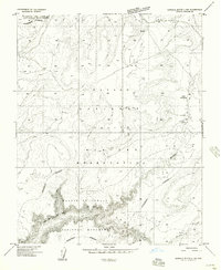
1955 · Sonsala Butte 4 NW
USGS Topo · 1:24,000
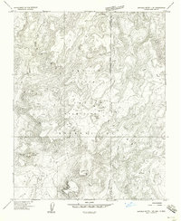
1955 · Sonsala Butte 1 SE
USGS Topo · 1:24,000
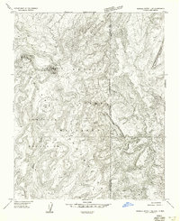
1955 · Sonsala Butte 1 NE
USGS Topo · 1:24,000
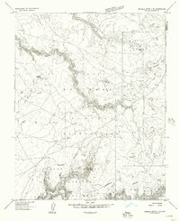
1955 · Sonsala Butte 2 SE
USGS Topo · 1:24,000
1955 · Sonsala Butte 3 NE
USGS Topo · 1:24,000
1955 · Sonsala Butte 2 NE
USGS Topo · 1:24,000
1955 · Sonsala Butte 1 SW
USGS Topo · 1:24,000
Featured Places
- Chinle Agency, AZ
- Adeií Díwózhii Biiʼ Tó, Chinle Agency
- Sehili, Chinle Agency
- Tsaile, Chinle Agency
- Apache County, AZ