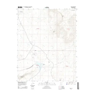
2014 Map of Tsaile
USGS Topo · Published 2014About this map
Canyon De Chelly National Monument defines the southwest corner of this high-altitude landscape, where the dramatic depths of Canyon del Muerto begin to carve through the sandstone. To the east, the Chuska Mountains rise toward Matthews Peak, providing a rugged backdrop to the higher elevations of the Navajo Nation.
Find a feature on this map
29 named features on this map. Tap any name to fly to it.
Don’t see what you’re looking for? This feature index may not catch every label — zoom into the map to look around manually.
Map Details
Editions of this 2014 Tsaile Map
This is the sole edition of this map. No revisions or reprints were ever made.
Other maps of this area
1892 · Canyon De Chelly
USGS Topo · 1:250,000
1954 · Shiprock
USGS Topo · 1:250,000
1955 · Sonsala Butte 1 NW
USGS Topo · 1:24,000
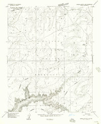
1955 · Sonsala Butte 4 NW
USGS Topo · 1:24,000
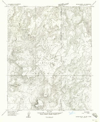
1955 · Sonsala Butte 1 SE
USGS Topo · 1:24,000
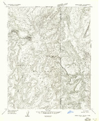
1955 · Sonsala Butte 1 NE
USGS Topo · 1:24,000
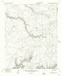
1955 · Sonsala Butte 2 SE
USGS Topo · 1:24,000
1955 · Sonsala Butte 3 NE
USGS Topo · 1:24,000
1955 · Sonsala Butte 2 NE
USGS Topo · 1:24,000
1955 · Sonsala Butte 1 SW
USGS Topo · 1:24,000
Featured Places
- Chinle Agency, AZ
- Adeií Díwózhii Biiʼ Tó, Chinle Agency
- Sehili, Chinle Agency
- Tsaile, Chinle Agency
- Apache County, AZ