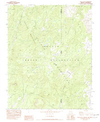
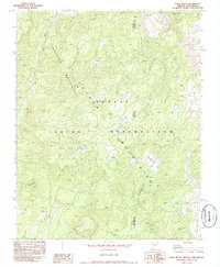
1982 Map of Tsaile Butte
USGS Topo · Published 1982About this map
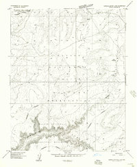
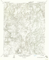
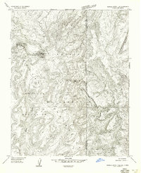
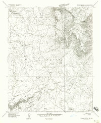
Tunitcha Mountains rise across this high-elevation landscape within the Navajo Indian Reservation, straddling the border between Arizona and New Mexico. The 1982 survey captures a terrain defined by dramatic vertical relief and water drainage systems, with Tsaile Creek and Wheatfields Creek carving paths through the mountain slopes. The presence of a solitary Drill Hole in the eastern sector hints at resource exploration or geological testing in this remote region of the Chuska range.
Find a feature on this map
10 named features on this map. Tap any name to fly to it.
Don’t see what you’re looking for? This feature index may not catch every label — zoom into the map to look around manually.
Map Details
Editions of this 1982 Tsaile Butte Map
2 editions found
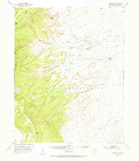
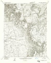
Other maps of this area

1889 · Chaco
USGS Topo · 1:250,000

1892 · Chaco
USGS Topo · 1:250,000

1892 · Canyon De Chelly
USGS Topo · 1:250,000
1953 · Sanostee
USGS Topo · 1:62,500

1954 · Shiprock
USGS Topo · 1:250,000
1955 · Sonsala Butte 1 NW
USGS Topo · 1:24,000
1955 · Sonsala Butte 4 NW
USGS Topo · 1:24,000
1955 · Sonsala Butte 1 SE
USGS Topo · 1:24,000
1955 · Sonsala Butte 1 NE
USGS Topo · 1:24,000
1955 · Sonsala Butte 1 SW
USGS Topo · 1:24,000