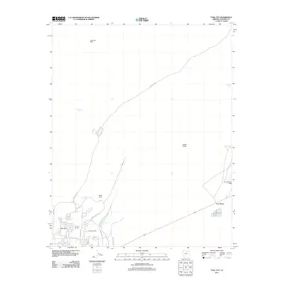
2011 Map of Tuba City
USGS Topo · Published 2011About this map
Tuba City serves as the focal point of this 2011 survey, showing a dense network of local streets including Peshlakai Ave, Navajo Blvd, and Arizona Blvd. The settlement pattern is defined by its proximity to the Tuba City Airport and the distinct industrial area at Rare Metals to the east. The landscape transitions from the developed community into the high desert, where water sources like Dotson Spring, Cottonwood Spring, and the Pasture Canyon Reservoir remain vital landmarks in an arid environment. Rising above the flats are geological features such as Dynamite Hill and the prominent Castle Rocks. To the north and east, the map traces the path of Indian Rte 6220 as it navigates toward Castle Buttes and the ephemeral Greasewood Lake, illustrating the isolated character of the surrounding Coconino County terrain.
Find a feature on this map
23 named features on this map. Tap any name to fly to it.
Don’t see what you’re looking for? This feature index may not catch every label — zoom into the map to look around manually.
Map Details
Editions of this 2011 Tuba City Map
This is the sole edition of this map. No revisions or reprints were ever made.
Other maps of this area

1886 · Echo Cliffs
USGS Topo · 1:250,000

1891 · Echo Cliffs
USGS Topo · 1:250,000

1956 · Marble Canyon
USGS Topo · 1:250,000

1959 · Marble Canyon
USGS Topo · 1:250,000

1961 · Marble Canyon
USGS Topo · 1:250,000
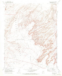
1969 · Tuba City SE
USGS Topo · 1:24,000
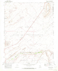
1969 · Tuba City NE
USGS Topo · 1:24,000
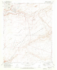
1969 · Moenkopi
USGS Topo · 1:24,000
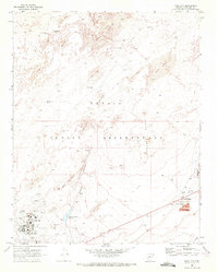
1969 · Tuba City
USGS Topo · 1:24,000
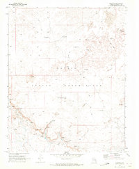
1969 · Moenave
USGS Topo · 1:24,000