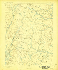
1893 Map of Tuckahoe
USGS Topo · Published 1915About this map
Industrial and maritime activity along the South Jersey coast is evident in this late 19th-century survey, which reveals a landscape of early ironworks and milling. Early manufacturing sites like Monroe Forge and the Old Etna Furnace point to the region's history of utilizing local natural resources, while scattered operations such as Bennett Mill, Leaming Mill, and Heaters Mill highlight the importance of water power in these drainages. The West Jersey RR cuts through the territory, linking the inland settlement of Richland to coastal hubs and facilitating the transport of timber and glass. Along the navigable waters of the Maurice River and Tuckahoe River, established communities including Port Elizabeth, Mauricetown, and Tuckahoe served as vital ports. This documentation of the area before modern development provides a clear view of the historic boundaries between Cumberland and Cape May counties, as well as the transition from river-based commerce to rail-driven industry.
Find a feature on this map
57 named features on this map. Tap any name to fly to it.
Don’t see what you’re looking for? This feature index may not catch every label — zoom into the map to look around manually.
Map Details
Editions of this 1893 Tuckahoe Map
4 editions found

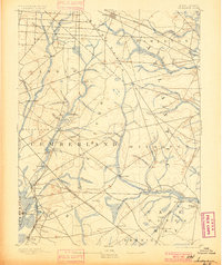
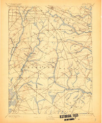
Other maps of this area

1884 · Sea Isle
USGS Topo · 1:62,500

1888 · Dennisville
USGS Topo · 1:62,500

1888 · Sea Isle
USGS Topo · 1:62,500

1890 · Great Egg Harbor
USGS Topo · 1:62,500

1890 · Hammonton
USGS Topo · 1:62,500

1890 · Tuckahoe
USGS Topo · 1:62,500

1890 · Maurice Cove
USGS Topo · 1:62,500

1890 · Bridgeton
USGS Topo · 1:62,500

1890 · Mullica
USGS Topo · 1:62,500

1890 · Glassboro
USGS Topo · 1:62,500