
1893 Map of Tuckahoe
USGS Topo · Published 1893About this map
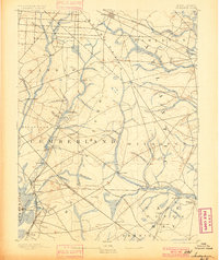
Maurice River and the Tuckahoe River define this 1880s survey of southern New Jersey, where timber and iron industries shaped the early landscape. Industrial history is evident at Old Etna Furnace and Monroe Forge, while the local economy relied heavily on numerous water-powered sites such as Bennett Mill, Heaters Mill, and Leaming Mill.
Find a feature on this map
66 named features on this map. Tap any name to fly to it.
Don’t see what you’re looking for? This feature index may not catch every label — zoom into the map to look around manually.
Map Details
Editions of this 1893 Tuckahoe Map
4 editions found
Other maps of this area

1884 · Sea Isle
USGS Topo · 1:62,500

1888 · Dennisville
USGS Topo · 1:62,500

1888 · Sea Isle
USGS Topo · 1:62,500

1890 · Great Egg Harbor
USGS Topo · 1:62,500

1890 · Hammonton
USGS Topo · 1:62,500

1890 · Tuckahoe
USGS Topo · 1:62,500

1890 · Maurice Cove
USGS Topo · 1:62,500

1890 · Bridgeton
USGS Topo · 1:62,500

1890 · Mullica
USGS Topo · 1:62,500

1890 · Glassboro
USGS Topo · 1:62,500