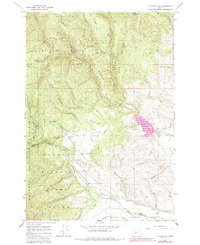
1965 Map of Tucker Flat
USGS Topo · Published 1985About this map
Whitman National Forest dominates this mountain landscape, where the peaks of Red Ridge and Shaw Mountain descend into the high-desert drainages of the Powder Valley. The map reveals a complex water-management system essential to the region's historical ranching and agriculture, characterized by a network of hillside channels including the Carnes Ditch, Coughanour Ditch, and Lone Pine Ditch. These man-made features wrap around the contours of Tucker Flat, directing runoff toward the valley floor.
Find a feature on this map
44 named features on this map. Tap any name to fly to it.
Don’t see what you’re looking for? This feature index may not catch every label — zoom into the map to look around manually.
Map Details
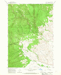
Editions of this 1965 Tucker Flat Map
2 editions found
Other maps of this area

1901 · Baker City
USGS Topo · 1:125,000

1901 · Sumpter
USGS Topo · 1:125,000

1906 · Telocaset
USGS Topo · 1:125,000

1953 · Pendleton
USGS Topo · 1:250,000

1955 · Baker
USGS Topo · 1:250,000

1955 · Grangeville
USGS Topo · 1:250,000

1955 · Canyon City
USGS Topo · 1:250,000

1956 · Pendleton
USGS Topo · 1:250,000

1959 · Baker
USGS Topo · 1:250,000

1959 · Grangeville
USGS Topo · 1:250,000