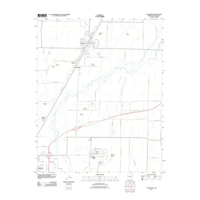
2011 Map of Tuckerman
USGS Topo · Published 2011About this map
The town of Tuckerman anchors this Jackson County landscape, characterized by an intricate network of drainage canals and creek beds that define the local topography. Waterways like Village Creek, Locust Creek, and Tuckerman Ditch weave through the agricultural surroundings, while the Tuckerman Post Office and Tuckerman Landing Strip mark the community center. To the south, the academic presence of Arkansas State University - Newport sits near the Newport Municipal Airport, signaling the area's development as an educational and regional hub.
Find a feature on this map
74 named features on this map. Tap any name to fly to it.
Don’t see what you’re looking for? This feature index may not catch every label — zoom into the map to look around manually.
Map Details
Editions of this 2011 Tuckerman Map
This is the sole edition of this map. No revisions or reprints were ever made.
Other maps of this area

1932 · Strawberry
USGS Topo · 1:62,500

1935 · Alicia
USGS Topo · 1:62,500

1935 · Strawberry
USGS Topo · 1:62,500

1935 · Newport
USGS Topo · 1:62,500

1935 · Tuckerman
USGS Topo · 1:62,500

1941 · Strawberry
USGS Topo · 1:62,500

1953 · Memphis
USGS Topo · 1:250,000

1955 · Cord
USGS Topo · 1:24,000

1956 · Memphis
USGS Topo · 1:250,000

1962 · Jacksonport
USGS Topo · 1:24,000